Large airport · Iceland

Akureyri International AirportBIAR
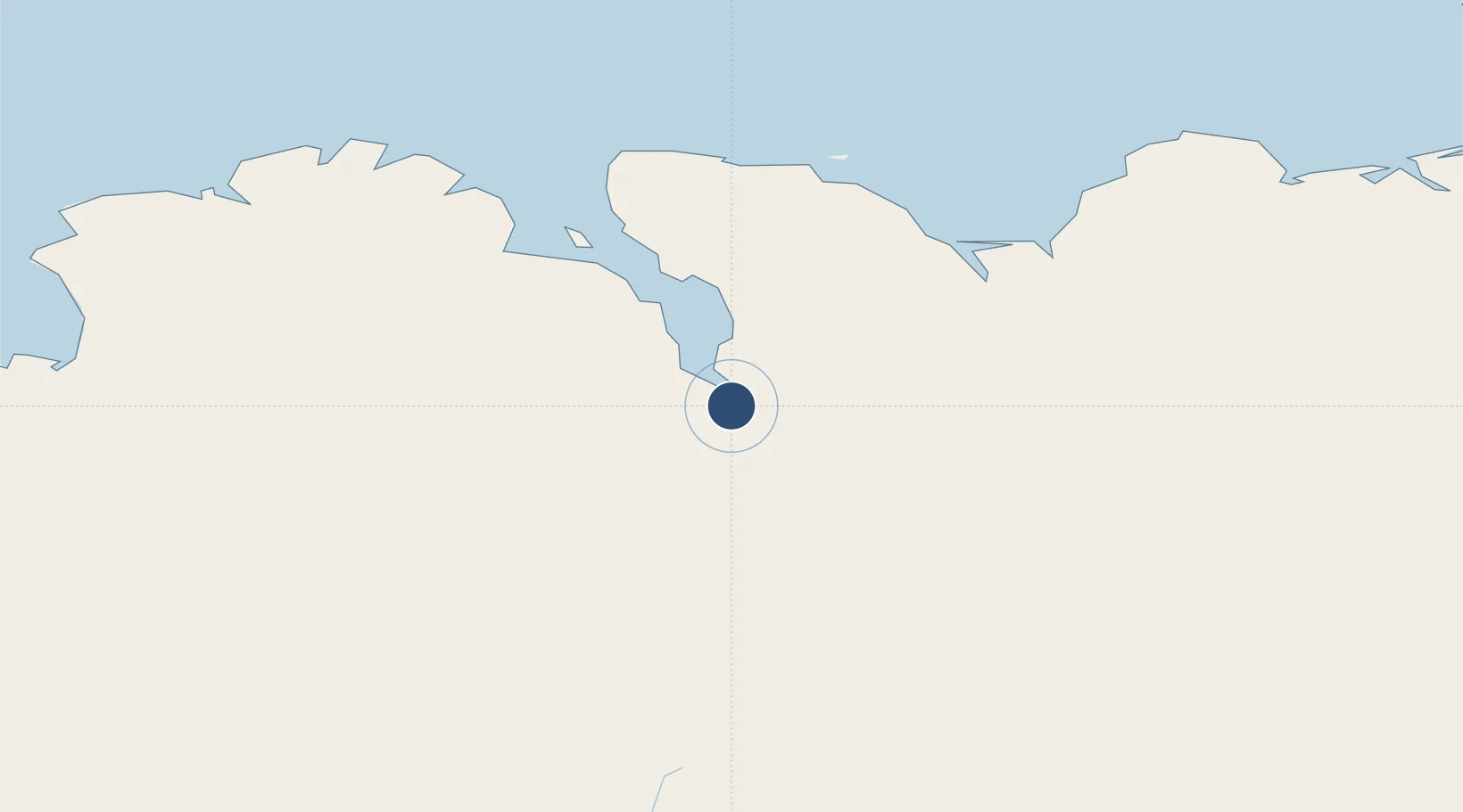
65.6566°, -18.0720°
8,858 ft
Longest runway
1
Runways
6 ft
Elevation

Runway & Layout

Akureyri International Airport runway & taxiway layout
Runway & taxiway layout — OpenStreetMap (ODbL) / OurAirports

Radio Frequencies

TWR
118.2 MHz
ACC
119.7 MHz
REYKJAVIK ACC
RDR
118.7 MHz
RADAR
OurAirports

Navaids

AKI VOR-DME Akureyri 113.60 MHz
AR NDB Akureyri 334 kHz
HJ NDB Hjalteyri 319 kHz
HV NDB Hvammur 357 kHz
NB NDB Botn 387 kHz
TO NDB Torfur 324 kHz
OurAirports

Runways · 1

RunwayDimensions SurfaceTrue headingLit
01/19 8,858 × 148ft Asphalt 356°
OurAirports

Airport Specifications

IATA code
AEY
OurAirports
ICAO code
BIAR
OurAirports
Airport class
Large airport
OurAirports
Scheduled service
Yes
OurAirports
Runway surface
Asphalt
OurAirports
Served city
Akureyri
OurAirports

Location

Location of BIAR
Natural Earth 10m (public domain) · Norðurland eystra · BIAR · 65.66, -18.07GoogleOSMYandex

Nearby Logistics Neighbours

Airports
  1. 1Húsavík Airport44 km
  2. 2Mývatn Airport53 km
  3. 3Siglufjörður Airport66 km
  4. 4Grímsey Airport99 km
  5. 5Þórshöfn Airport139 km
Nearest neighbours — logibook spatial index (haversine) over the source coordinates
Cities
  1. 1Akureyri3 km
  2. 2Grenivík33 km
  3. 3Arskogssandur34 km
  4. 4Dalvík40 km
  5. 5Hofsós68 km
Nearest neighbours — logibook spatial index (haversine) over the source coordinates
Ports
  1. 1Akureyri3 km
  2. 2Grenivik33 km
  3. 3Dalvik42 km
  4. 4Olafsfjordur53 km
  5. 5Husavik54 km
Nearest neighbours — logibook spatial index (haversine) over the source coordinates
Trade Zones
  1. 1Prestwick Airport Free Zone1341 km
  2. 2Carlisle Kingmoor Park Enterprise Zone1446 km
  3. 3Isle of Man Free Zone and Business Park1482 km
  4. 4Dublin International Financial Services Centre1517 km
  5. 5Shannon Free Zone1529 km
Nearest neighbours — logibook spatial index (haversine) over the source coordinates
DatabookThe Record of Consolidated Knowledge
Iceland beyond logistics?
Browse databook

All Sources

AirportsOurAirports
Public domain
Portsthe NGA World Port Index
Public domain (US gov)
LocationsUN/LOCODE
UN/LOCODE — free
Trade Zonesthe World Bank SEZ database
CC BY 4.0
Trade ZonesOpen Zone Map
CC BY
InfrastructureOpenStreetMap
ODbL 1.0
← Iceland airports