Transport Functions
Port
Road
Multimodal
Fixed Transport
Hub Profile
Region
7
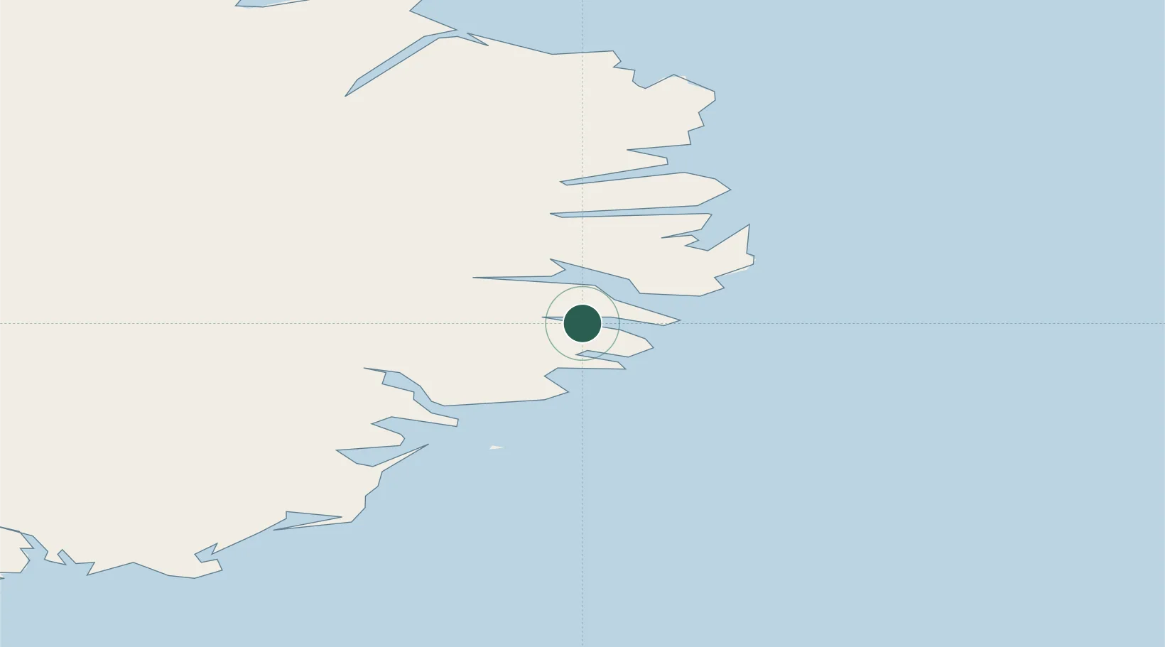
Location
Nearby Logistics Neighbours
Cities
- 1Djúpivogur34 km
- 2Höfn, Hornafjørdur96 km
- 3Vopnafjördur101 km
- 4Gardabaer105 km
- 5Bakkafjördur130 km
Ports
- 1Budir4 km
- 2Stodhvarfjordur10 km
- 3Reydarfjordur15 km
- 4Eskifjordhur17 km
- 5Neskaupstadur29 km
Airports
- 1Egilsstaðir Airport46 km
- 2Hornafjörður Airport92 km
- 3Vopnafjörður Airport99 km
- 4Þórshöfn Airport158 km
- 5Mývatn Airport161 km
Trade Zones
- 1Prestwick Airport Free Zone1164 km
- 2Carlisle Kingmoor Park Enterprise Zone1264 km
- 3North Eastern Enterprise Zone1297 km
- 4Isle of Man Free Zone and Business Park1310 km
- 5Tees Valley Enterprise Zone1346 km
DatabookThe Record of Consolidated Knowledge
Iceland beyond logistics?