Channel & Berth Profile
Pilotage, Tugs & Services
Tug assistanceNO
Salvage tugsNO
Shore powerYES
Potable waterYES
Diesel bunkersYES
MedicalYES
Facilities & Capabilities
Container—
Ro-Ro—
Liquid bulkYES
Dry bulkYES
Oil terminal—
Break bulkYES
Dry dock—
RepairsNO
BunkeringYES
Rail link—
Dangerous cargo—
ISPS securityYES
Harbour Specifications
Harbour size
Very Small
Harbour type
Coastal (Natural)
Shelter
Fair
Water body
North Atlantic Ocean
Tidal range
2 m
Overhead limit
No
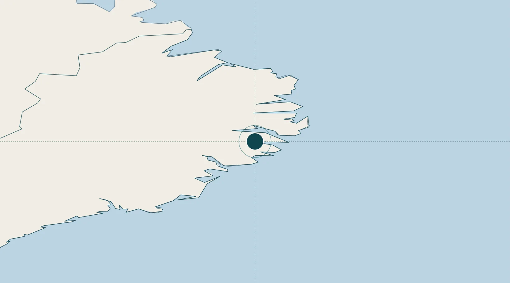
Location
Nearby Logistics Neighbours
Ports
- 1Reydarfjordur12 km
- 2Stodhvarfjordur13 km
- 3Eskifjordhur15 km
- 4Neskaupstadur29 km
- 5Djupivogur32 km
Cities
- 1Mjoeyrarhofn4 km
- 2Djúpivogur34 km
- 3Höfn, Hornafjørdur95 km
- 4Vopnafjördur98 km
- 5Gardabaer108 km
Airports
- 1Egilsstaðir Airport43 km
- 2Hornafjörður Airport91 km
- 3Vopnafjörður Airport96 km
- 4Þórshöfn Airport155 km
- 5Mývatn Airport157 km
Trade Zones
DatabookThe Record of Consolidated Knowledge
Iceland beyond logistics?