Transport Functions
Port
Airport
Hub Profile
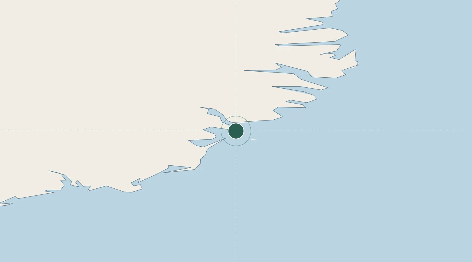
Place type
Populated place
Region
East
Population
348
Time zone
Atlantic/Reykjavik
Elevation
18 m
Location
Nearby Logistics Neighbours
Cities
- 1Mjoeyrarhofn34 km
- 2Höfn, Hornafjørdur63 km
- 3Gardabaer91 km
- 4Vopnafjördur125 km
- 5Bakkafjördur156 km
Ports
- 1Stodhvarfjordur28 km
- 2Budir34 km
- 3Reydarfjordur44 km
- 4Eskifjordhur48 km
- 5Neskaupstadur62 km
Airports
- 1Hornafjörður Airport60 km
- 2Egilsstaðir Airport71 km
- 3Vopnafjörður Airport122 km
- 4Mývatn Airport166 km
- 5Þórshöfn Airport181 km
Trade Zones
DatabookThe Record of Consolidated Knowledge
Iceland beyond logistics?