Transport Functions
Port
Airport
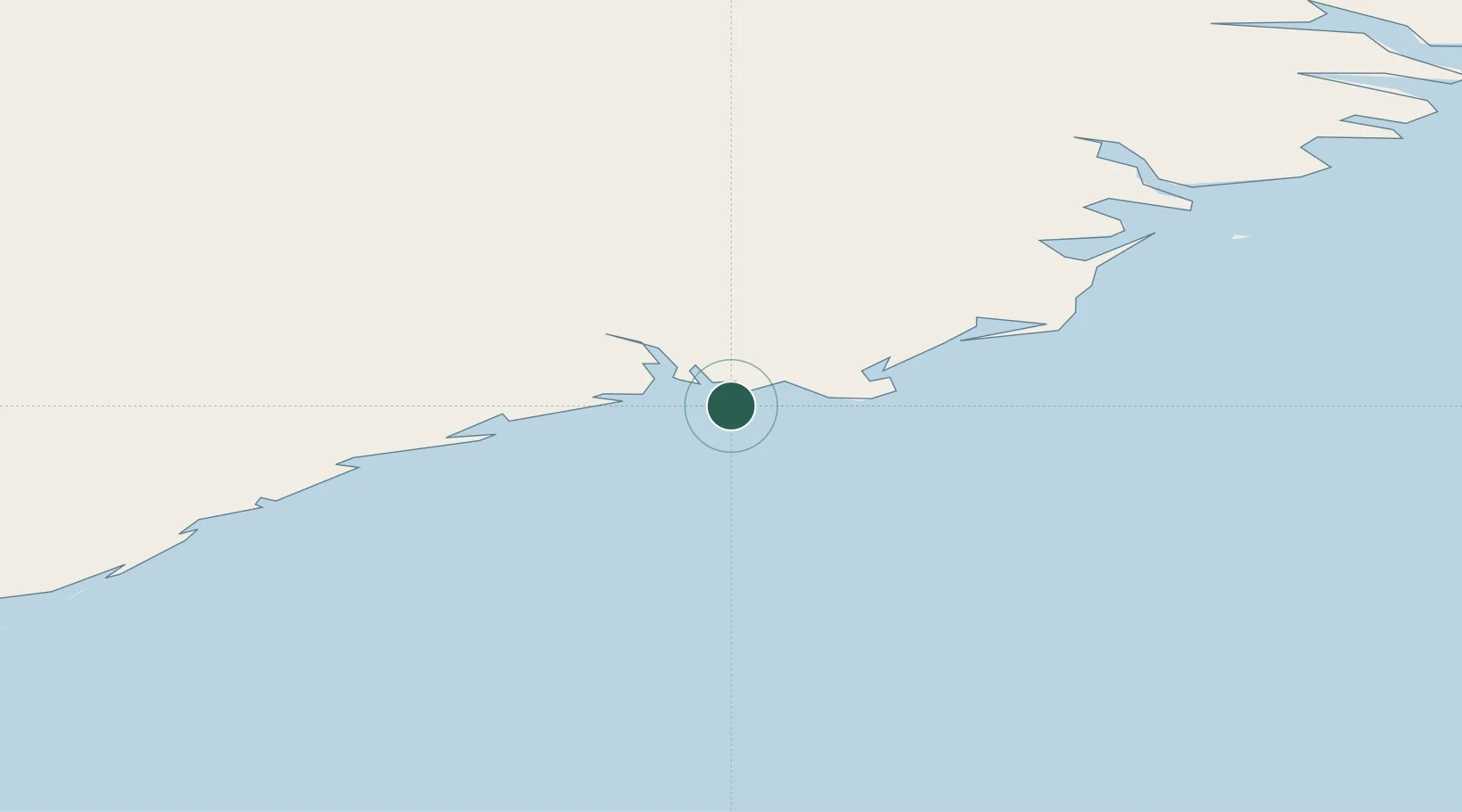
Location
Nearby Logistics Neighbours
Cities
- 1Djúpivogur63 km
- 2Mjoeyrarhofn96 km
- 3Gardabaer112 km
- 4Vopnafjördur168 km
- 5Bakkafjördur199 km
Ports
- 1Djupivogur64 km
- 2Stodhvarfjordur91 km
- 3Budir95 km
- 4Reydarfjordur102 km
- 5Eskifjordhur107 km
Airports
- 1Hornafjörður Airport5 km
- 2Egilsstaðir Airport121 km
- 3Vopnafjörður Airport164 km
- 4Mývatn Airport176 km
- 5Akureyri International Airport206 km
Trade Zones
DatabookThe Record of Consolidated Knowledge
Iceland beyond logistics?