Transport Functions
Port
Hub Profile
Place type
Populated place
Region
Capital Region
Population
11,421
Time zone
Atlantic/Reykjavik
Elevation
41 m
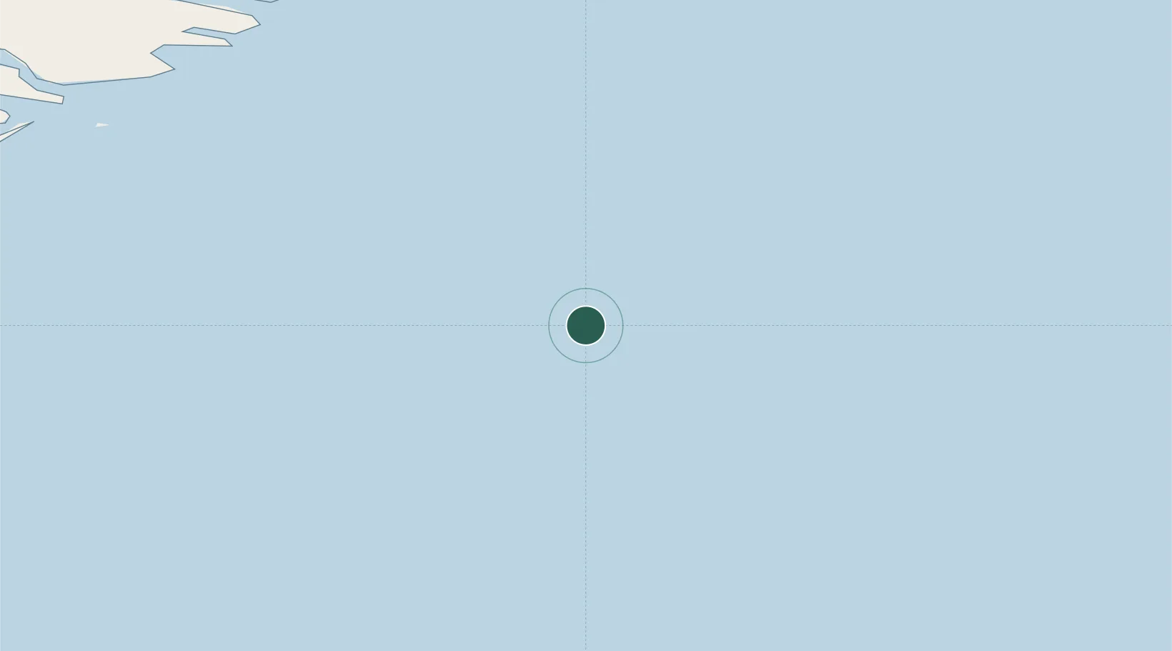
Location
Nearby Logistics Neighbours
Cities
- 1Djúpivogur91 km
- 2Mjoeyrarhofn105 km
- 3Höfn, Hornafjørdur112 km
- 4Vopnafjördur206 km
- 5Bakkafjördur234 km
Ports
- 1Djupivogur92 km
- 2Stodhvarfjordur95 km
- 3Budir108 km
- 4Hornafjordur113 km
- 5Reydarfjordur119 km
Airports
- 1Hornafjörður Airport114 km
- 2Egilsstaðir Airport151 km
- 3Vopnafjörður Airport203 km
- 4Mývatn Airport257 km
- 5Þórshöfn Airport263 km
Trade Zones
- 1Prestwick Airport Free Zone1059 km
- 2Carlisle Kingmoor Park Enterprise Zone1159 km
- 3North Eastern Enterprise Zone1194 km
- 4Isle of Man Free Zone and Business Park1206 km
- 5Tees Valley Enterprise Zone1243 km
DatabookThe Record of Consolidated Knowledge
Iceland beyond logistics?