Medium airport · Iceland
Mývatn AirportBIRL
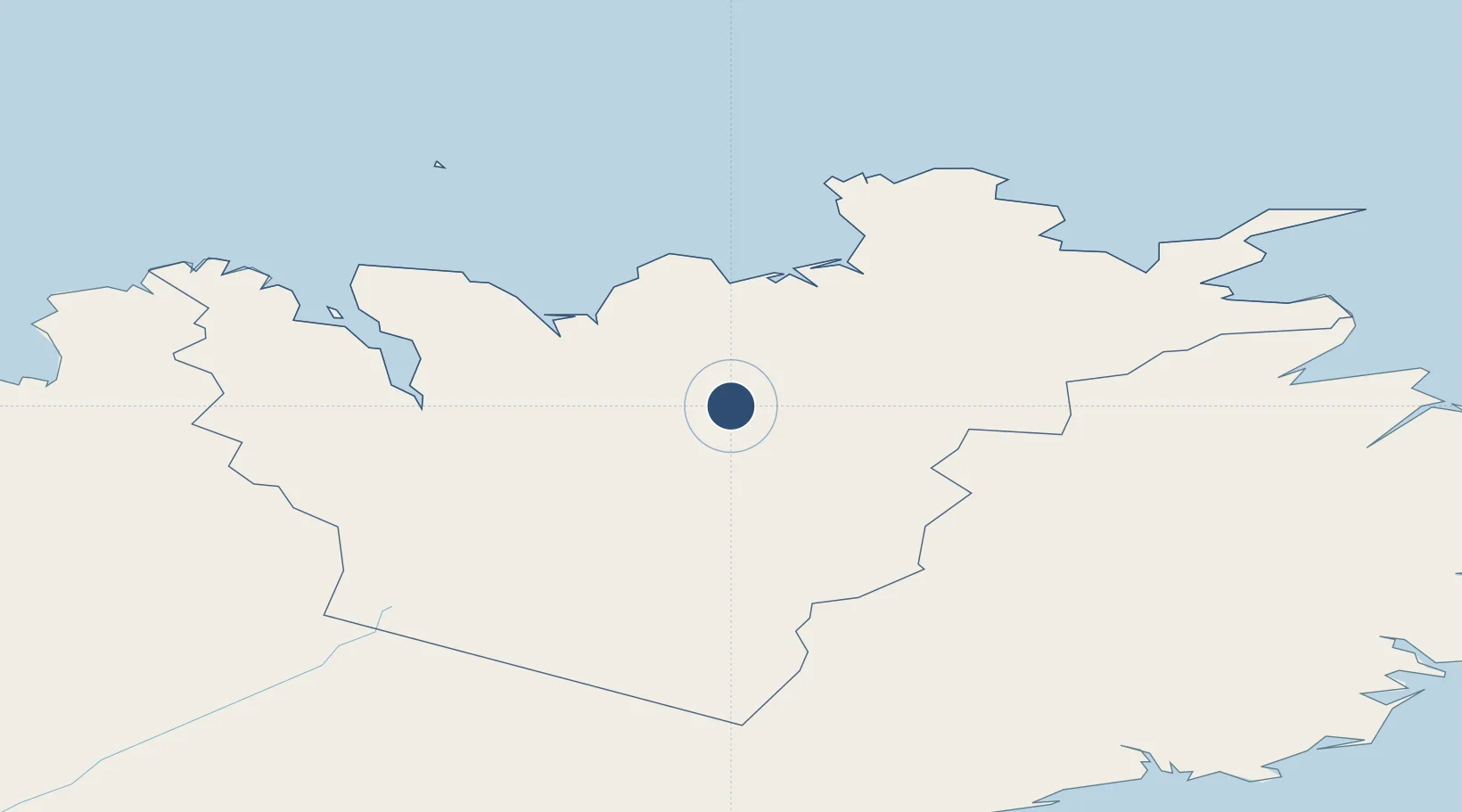
65.6558°, -16.9181°
3,461 ft
Longest runway
1
Runways
1,030 ft
Elevation
Runway & Layout

Runways · 1
| Runway | Dimensions | Surface | True heading | Lit |
|---|---|---|---|---|
| 02/20 | 3,461 × 98ft | Asphalt | — | — |
Airport Specifications
IATA code
MVA
ICAO code
BIRL
Airport class
Medium airport
Scheduled service
No
Runway surface
Asphalt
Served city
Myvatn
Location
Nearby Logistics Neighbours
Airports
- 1Húsavík Airport40 km
- 2Akureyri International Airport53 km
- 3Vopnafjörður Airport95 km
- 4Þórshöfn Airport95 km
- 5Siglufjörður Airport105 km
Cities
- 1Akureyri54 km
- 2Grenivík66 km
- 3Arskogssandur73 km
- 4Dalvík81 km
- 5Vopnafjördur96 km
Ports
- 1Husavik46 km
- 2Akureyri54 km
- 3Grenivik66 km
- 4Dalvik81 km
- 5Olafsfjordur91 km
Trade Zones
DatabookThe Record of Consolidated Knowledge
Iceland beyond logistics?