Medium airport · Iceland

Hornafjörður AirportBIHN
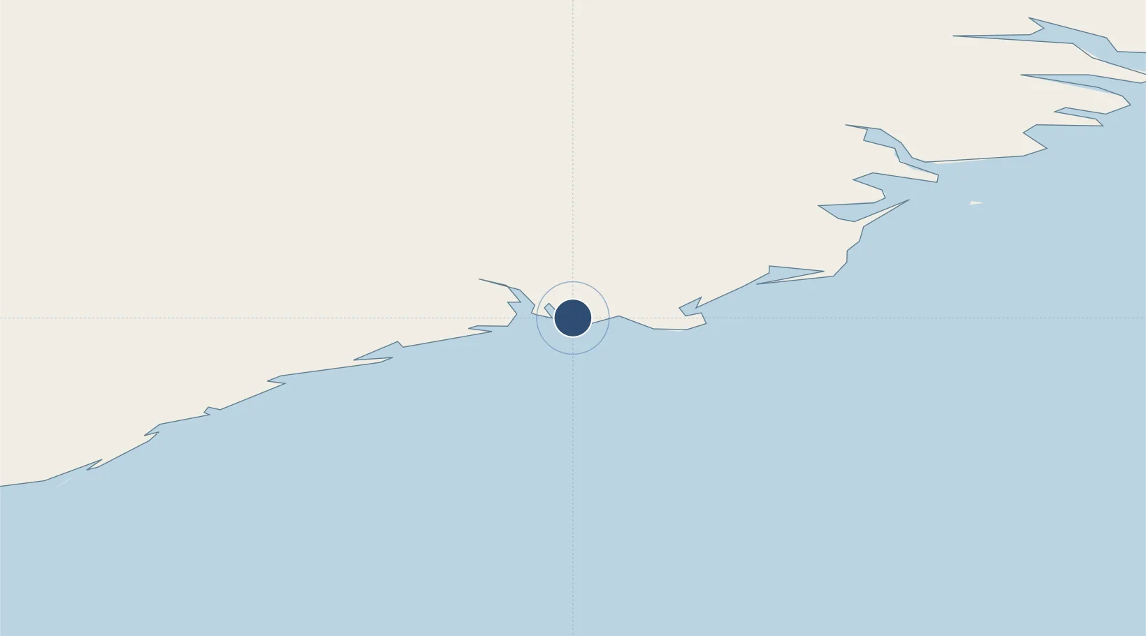
64.2956°, -15.2272°
4,921 ft
Longest runway
1
Runways
24 ft
Elevation

Runway & Layout

Hornafjörður Airport runway & taxiway layout
Runway & taxiway layout — OpenStreetMap (ODbL) / OurAirports

Radio Frequencies

ACC
119.7 MHz
REYKJAVIK CON
AFIS
118.1 MHz
INFO
OurAirports

Navaids

HN NDB Hornafjordur 330 kHz
SL NDB Svinafell 360 kHz
OurAirports

Runways · 1

RunwayDimensions SurfaceTrue headingLit
18/36 4,921 × 148ft Asphalt 168°
OurAirports

Airport Specifications

IATA code
HFN
OurAirports
ICAO code
BIHN
OurAirports
Airport class
Medium airport
OurAirports
Scheduled service
Yes
OurAirports
Runway surface
Asphalt
OurAirports
Served city
Höfn
OurAirports

Location

Location of BIHN
Natural Earth 10m (public domain) · Austurland · BIHN · 64.30, -15.23GoogleOSMYandex

Nearby Logistics Neighbours

Airports
  1. 1Egilsstaðir Airport117 km
  2. 2Vopnafjörður Airport159 km
  3. 3Mývatn Airport171 km
  4. 4Akureyri International Airport202 km
  5. 5Húsavík Airport211 km
Nearest neighbours — logibook spatial index (haversine) over the source coordinates
Cities
  1. 1Höfn, Hornafjørdur5 km
  2. 2Djúpivogur60 km
  3. 3Mjoeyrarhofn92 km
  4. 4Gardabaer114 km
  5. 5Vopnafjördur163 km
Nearest neighbours — logibook spatial index (haversine) over the source coordinates
Ports
  1. 1Hornafjordur5 km
  2. 2Djupivogur61 km
  3. 3Stodhvarfjordur88 km
  4. 4Budir91 km
  5. 5Reydarfjordur98 km
Nearest neighbours — logibook spatial index (haversine) over the source coordinates
Trade Zones
  1. 1Prestwick Airport Free Zone1139 km
  2. 2Carlisle Kingmoor Park Enterprise Zone1244 km
  3. 3Isle of Man Free Zone and Business Park1281 km
  4. 4Dublin International Financial Services Centre1319 km
  5. 5Shannon Free Zone1339 km
Nearest neighbours — logibook spatial index (haversine) over the source coordinates
DatabookThe Record of Consolidated Knowledge
Iceland beyond logistics?
Browse databook

All Sources

AirportsOurAirports
Public domain
Portsthe NGA World Port Index
Public domain (US gov)
LocationsUN/LOCODE
UN/LOCODE — free
Trade Zonesthe World Bank SEZ database
CC BY 4.0
Trade ZonesOpen Zone Map
CC BY
InfrastructureOpenStreetMap
ODbL 1.0
← Iceland airports