Seaport · Iceland
EskifjordhurISESK
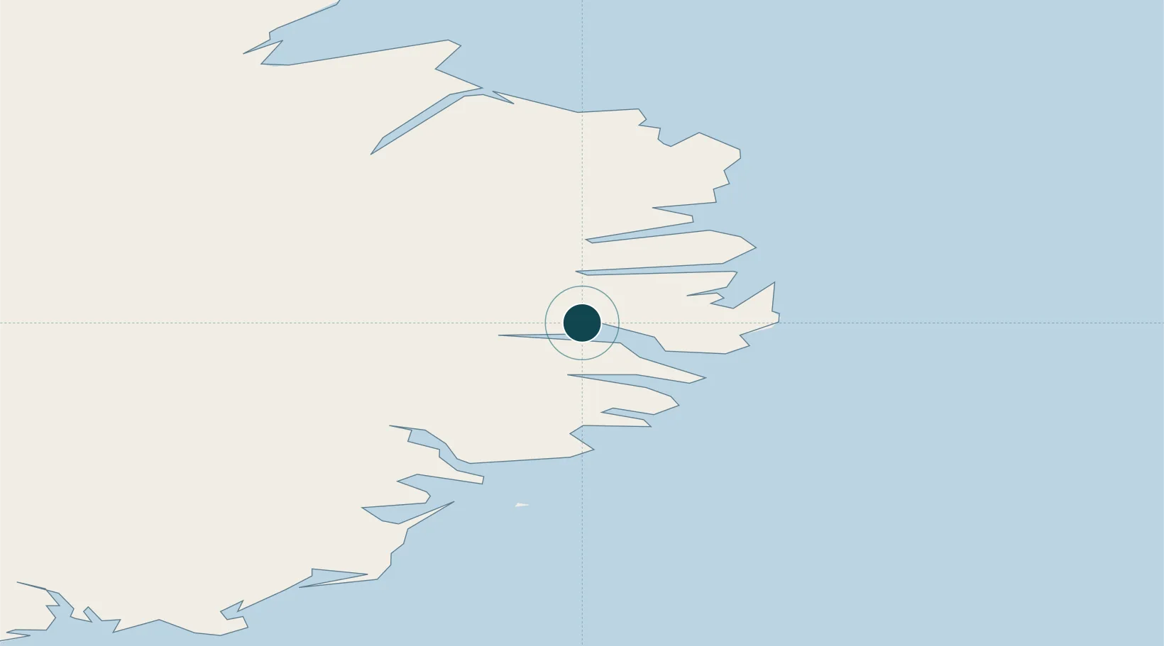
65.0667°, -14.0167°
23.2 m
Channel depth
16.1
Port liner connectivity
Channel & Berth Profile
Pilotage, Tugs & Services
Pilotage compulsoryYES
Pilotage availableYES
Tug assistanceNO
Salvage tugsNO
Shore powerYES
Potable waterYES
MedicalYES
Facilities & Capabilities
Container—
Ro-Ro—
Liquid bulkYES
Dry bulkYES
Oil terminal—
Break bulkYES
Dry dock—
RepairsNO
BunkeringYES
Rail link—
Dangerous cargo—
ISPS securityYES
Harbour Specifications
Harbour size
Very Small
Harbour type
Coastal (Natural)
Shelter
Fair
Water body
North Atlantic Ocean
Tidal range
1.7 m
Overhead limit
No
Pilotage
Yes
Liner Connectivity
16.1
PLSCI
Port Liner Shipping Connectivity Index for Eskifjordhur, as published by UNCTAD for the latest available quarter. Higher values indicate stronger scheduled liner-shipping integration.
Shown relative to the highest per-port PLSCI in the dataset (1,657.9).
Location
Nearby Logistics Neighbours
Ports
- 1Reydarfjordur5 km
- 2Budir15 km
- 3Neskaupstadur18 km
- 4Seydhisfjordhur22 km
- 5Stodhvarfjordur27 km
Cities
- 1Mjoeyrarhofn17 km
- 2Djúpivogur48 km
- 3Vopnafjördur85 km
- 4Höfn, Hornafjørdur107 km
- 5Bakkafjördur113 km
Airports
- 1Egilsstaðir Airport30 km
- 2Vopnafjörður Airport82 km
- 3Hornafjörður Airport103 km
- 4Þórshöfn Airport142 km
- 5Mývatn Airport150 km
Trade Zones
DatabookThe Record of Consolidated Knowledge
Iceland beyond logistics?