Transport Functions
Port
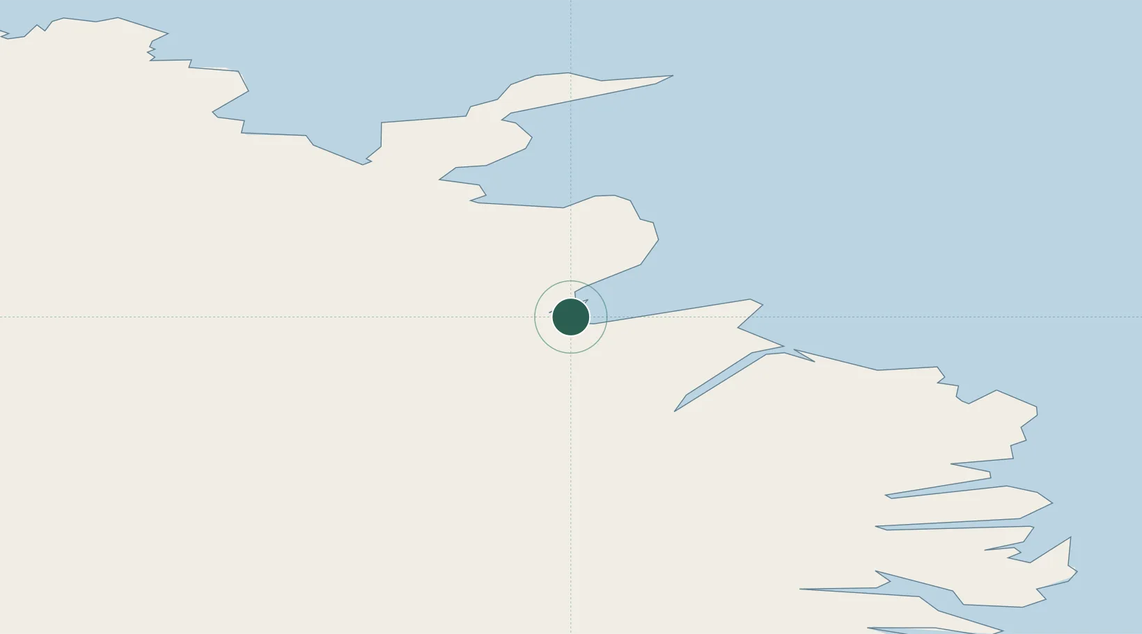
Location
Nearby Logistics Neighbours
Cities
- 1Bakkafjördur32 km
- 2Raufarhöfn93 km
- 3Mjoeyrarhofn101 km
- 4Djúpivogur125 km
- 5Akureyri149 km
Ports
- 1Thorshofn55 km
- 2Seydhisfjordhur66 km
- 3Eskifjordhur85 km
- 4Neskaupstadur85 km
- 5Reydarfjordur87 km
Airports
- 1Vopnafjörður Airport3 km
- 2Egilsstaðir Airport56 km
- 3Þórshöfn Airport57 km
- 4Mývatn Airport96 km
- 5Húsavík Airport120 km
Trade Zones
DatabookThe Record of Consolidated Knowledge
Iceland beyond logistics?