Large airport · India
Netaji Subhash Chandra Bose International AirportVECC
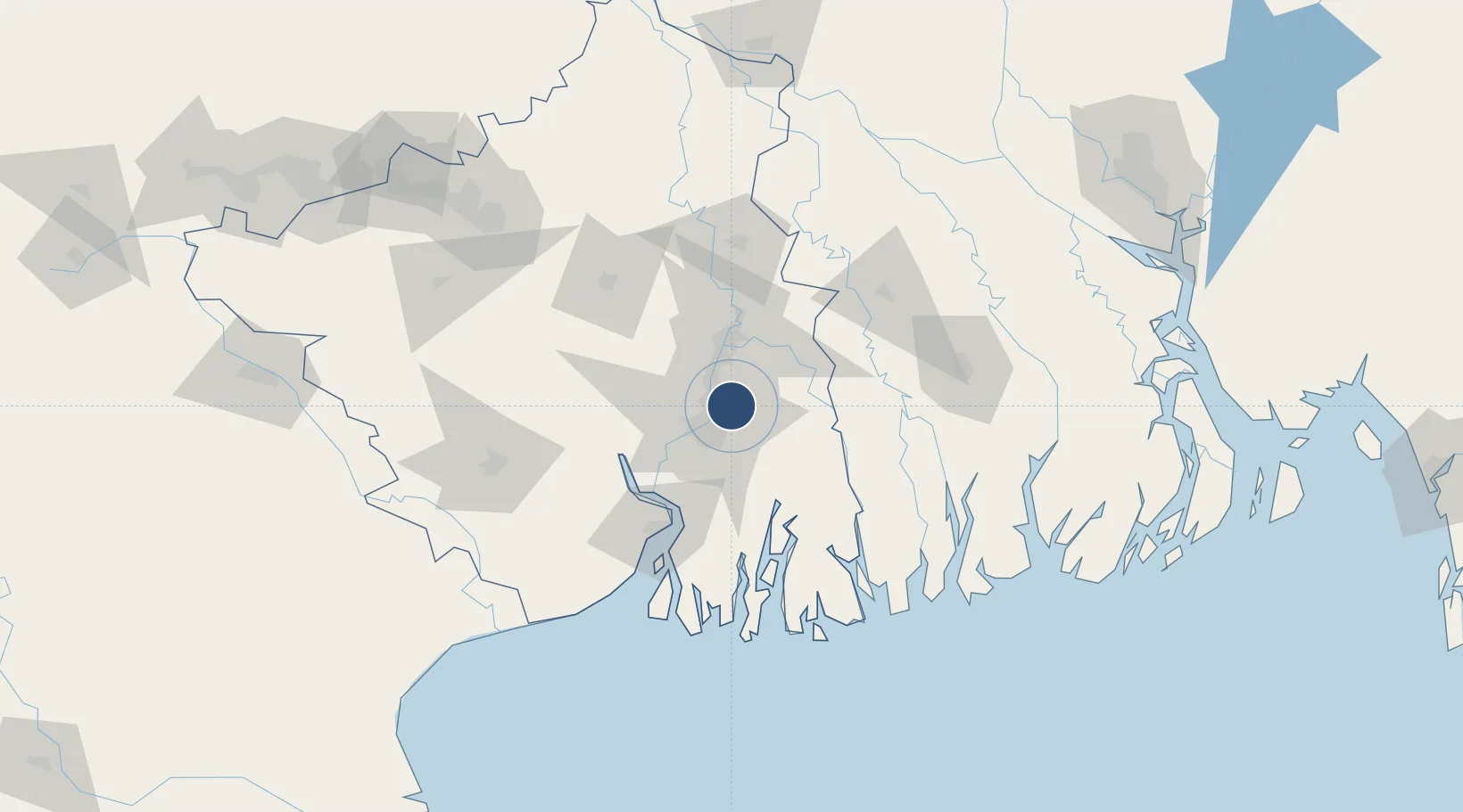
22.6540°, 88.4476°
11,919 ft
Longest runway
2
Runways
16 ft
Elevation
Runway & Layout

Radio Frequencies
ATIS
126.4 MHz
TWR
118.1 MHz
KOLKATA TWR
GND
121.9 MHz
KOLKATA GND
APP
127.9 MHz
KOLKATA APP
ACC
119.3 MHz
KOLKATA CON
ACC
120.575 MHz
Kolkata Radar
ACC
132.35 MHz
Kolkata Radar
ACC
133.75 MHz
Kolkata Radar
APP CONTROL
132.45 MHz
KOLKATA CONTROL
Oceanic
132.45 MHz
Kolkata Control
RADAR
127.3 MHz
Feeder AREA-APP
Navaids
CEA VOR-DME Kolkata 112.50 MHz
DU NDB Kolkata 385 kHz
Runways · 2
| Runway | Dimensions | Surface | True heading | Lit |
|---|---|---|---|---|
| 01R/19L | 11,919 × 150ft | Asphalt | 006° | ✓ |
| 01L/19R | 9,291 × 150ft | Asphalt | 006° | ✓ |
Airport Specifications
IATA code
CCU
ICAO code
VECC
Airport class
Large airport
Scheduled service
Yes
Runway surface
Asphalt
Served city
Kolkata
Location
Nearby Logistics Neighbours
Airports
- 1Jessore Airport94 km
- 2Panagarh Air Force Station139 km
- 3Kazi Nazrul Islam Airport164 km
- 4Ishurdi Airport178 km
- 5Barisal Airport191 km
Cities
- 1Kolkata IT Park/Bantala13 km
- 2Wipro SEZ/Kolkata13 km
- 3Kolkata (ex Calcutta)19 km
- 4Howrah20 km
- 5Alipore20 km
Ports
- 1Calcutta17 km
- 2Haldia Port80 km
- 3Mongla120 km
- 4Dhamra255 km
- 5Paradip322 km
DatabookThe Record of Consolidated Knowledge
India beyond logistics?