Channel & Berth Profile
Pilotage, Tugs & Services
Pilotage compulsoryYES
Pilotage availableYES
MedicalYES
Facilities & Capabilities
Container—
Ro-Ro—
Liquid bulk—
Dry bulk—
Oil terminal—
Break bulk—
Dry dock—
RepairsNO
Bunkering—
Rail linkYES
Dangerous cargo—
ISPS security—
Harbour Specifications
Harbour size
Small
Harbour type
Coastal (Breakwater)
Shelter
Good
Water body
Bay of Bengal; Indian Ocean
Overhead limit
No
Pilotage
Yes
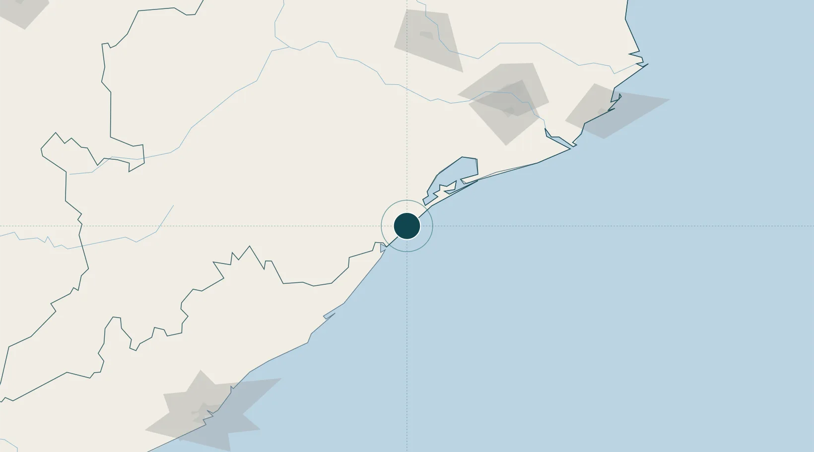
Location
Nearby Logistics Neighbours
Ports
- 1Paradip209 km
- 2Vishakhapatnam252 km
- 3Gangavaram259 km
- 4Dhamra268 km
- 5Kakinada Bay379 km
Cities
- 1Tata Steel SEZ/Ganjam14 km
- 2Palasa83 km
- 3Orissa127 km
- 4Ranasthalam182 km
- 5Paradip Port199 km
Airports
- 1Biju Patnaik International Airport138 km
- 2Utkela Airport207 km
- 3Visakhapatnam International Airport254 km
- 4Jharsuguda Airport306 km
- 5Jagdalpur Airport309 km
Trade Zones
DatabookThe Record of Consolidated Knowledge
India beyond logistics?