Special Economic Zone · India

Falta Special Economic Zone Active
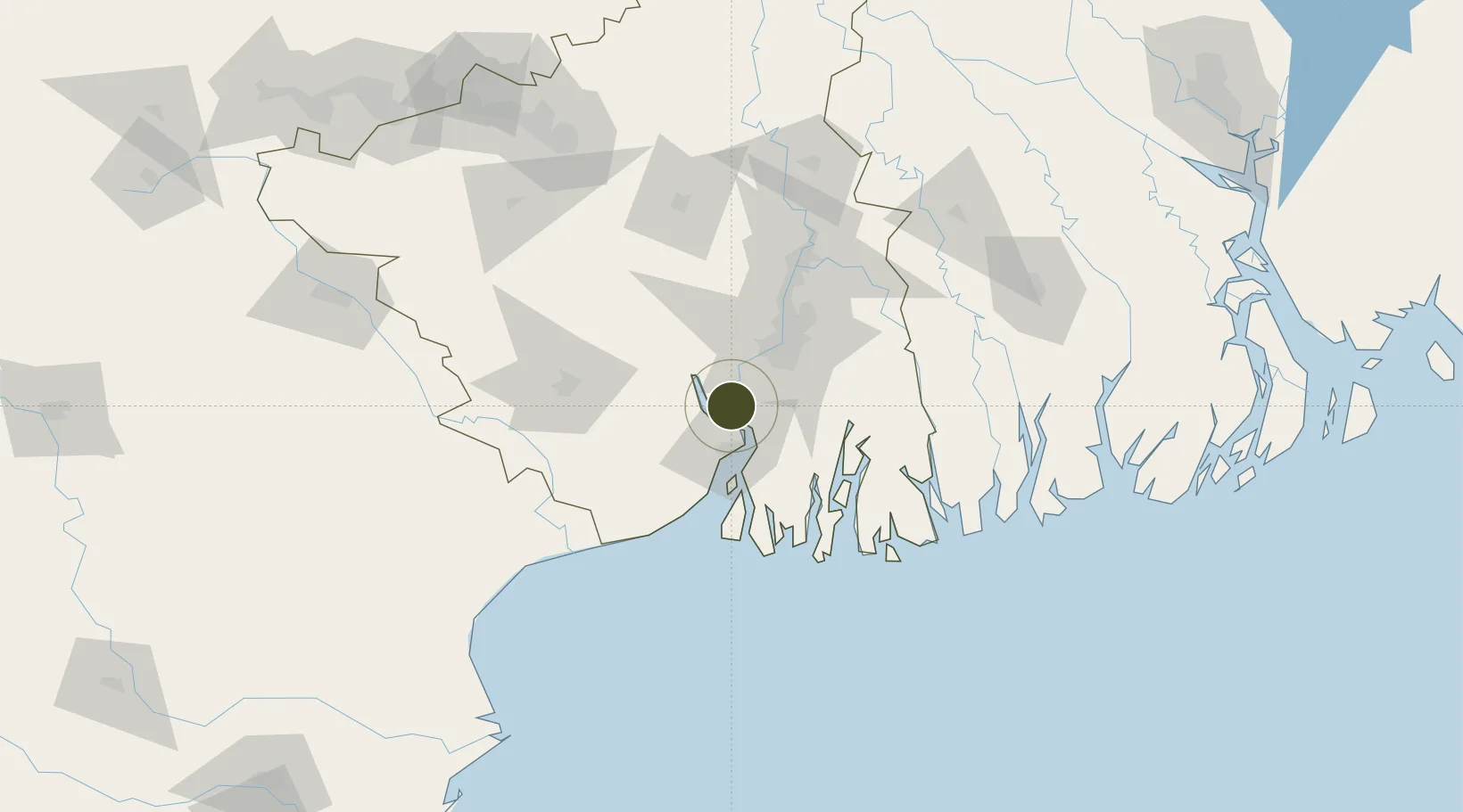
22.2747°, 88.0987°
20 ha
Zone area
28.7 km
Nearest port
55.4 km
Nearest airport

Gateway access

Nearest neighbours — logibook spatial index (haversine) over the source coordinates

Zone profile

Zone type
Special Economic Zone
the World Bank SEZ database
Region
West Bengal
the World Bank SEZ database
Status
Active
the World Bank SEZ database
Established
1986
the World Bank SEZ database
Management
Public agency
the World Bank SEZ database
Operator
Falta Special Economic Zone Authority
the World Bank SEZ database
Regulatory authority
Board of Approval (BOA)
the World Bank SEZ database
Legal framework
Special Economic Zones Act
the World Bank SEZ database

Location

Location of IND191
Natural Earth 10m (public domain) · West Bengal · IND191 · 22.27, 88.10GoogleOSMYandex

Fiscal & incentives

Corporate tax
30%
the World Bank SEZ database
Tax relief
100% exempt
the World Bank SEZ database
Relief duration
5 years
the World Bank SEZ database
VAT
100% exempt from sales tax (central and state)
the World Bank SEZ database
Import duty (inputs)
100% exempt
the World Bank SEZ database
Import duty (capex)
100% exempt
the World Bank SEZ database
Profit repatriation
No exemption
the World Bank SEZ database
Capital gains
No exemption
the World Bank SEZ database
Withholding tax
No exemption
the World Bank SEZ database
Min. investment
None
the World Bank SEZ database
Min. export
>0%
the World Bank SEZ database
Employment incentive
No exemption
the World Bank SEZ database
Developer incentive
Yes
the World Bank SEZ database

Nearby Logistics Neighbours

Ports
  1. 1Haldia Port29 km
  2. 2Calcutta39 km
  3. 3Mongla156 km
  4. 4Dhamra200 km
  5. 5Paradip267 km
Nearest neighbours — logibook spatial index (haversine) over the source coordinates
Airports
  1. 1Netaji Subhash Chandra Bose International Airport55 km
  2. 2Jessore Airport149 km
  3. 3Panagarh Air Force Station150 km
  4. 4Kazi Nazrul Islam Airport174 km
  5. 5Sonari Airport207 km
Nearest neighbours — logibook spatial index (haversine) over the source coordinates
Cities
  1. 1Falta1 km
  2. 2Haldia19 km
  3. 3Garden Reach34 km
  4. 4Alipore35 km
  5. 5Kolkata (ex Calcutta)37 km
Nearest neighbours — logibook spatial index (haversine) over the source coordinates
Trade Zones
  1. 1M.L. Dalmiya and Company Limited40 km
  2. 2M.L. Dalmiya & Co Ltd.40 km
  3. 3Falta Special Economic Zone42 km
  4. 4Salt Lake Electronic City48 km
  5. 5Manikanchan Special Economic Zone48 km
Nearest neighbours — logibook spatial index (haversine) over the source coordinates
DatabookThe Record of Consolidated Knowledge
India beyond logistics?
Browse databook

All Sources

Trade Zonesthe World Bank SEZ database
CC BY 4.0
Portsthe NGA World Port Index
Public domain (US gov)
AirportsOurAirports
Public domain
LocationsUN/LOCODE
UN/LOCODE — free
← India trade zones