UN/LOCODE hub · India
INJJK

ICD JSL/JAJPUR

20.9655°, 86.0556°
1
Transport functions

Transport Functions

Multimodal
UN/LOCODE

Hub Profile

Region
OR
GeoNames
Logistics facilities
1
UN/LOCODE

Location

Location of INJJK
Natural Earth 10m (public domain) · OR · INJJK · 20.97, 86.06GoogleOSMYandex

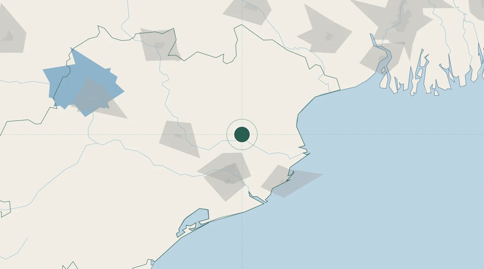
Nearby Logistics Neighbours

Cities
  1. 1Dhamara90 km
  2. 2Dhamra Port94 km
  3. 3Paradip Port97 km
  4. 4Paradip Garh101 km
  5. 5Concor ICD/Balasore106 km
Nearest neighbours — logibook spatial index (haversine) over the source coordinates
Ports
  1. 1Dhamra96 km
  2. 2Paradip102 km
  3. 3Gopalpur217 km
  4. 4Haldia Port240 km
  5. 5Calcutta294 km
Nearest neighbours — logibook spatial index (haversine) over the source coordinates
Airports
  1. 1Biju Patnaik International Airport83 km
  2. 2Rourkela Airport193 km
  3. 3Sonari Airport206 km
  4. 4Jharsuguda Airport233 km
  5. 5Birsa Munda Airport272 km
Nearest neighbours — logibook spatial index (haversine) over the source coordinates
Trade Zones
  1. 1Hindalco Industries Limited78 km
  2. 2Orissa Industrial Development Corporation79 km
  3. 3Adityapur Industrial area development authority203 km
  4. 4Saraf Agencies private Limited215 km
  5. 5Falta Special Economic Zone257 km
Nearest neighbours — logibook spatial index (haversine) over the source coordinates
DatabookThe Record of Consolidated Knowledge
India beyond logistics?
Browse databook

All Sources

LocationsUN/LOCODE
UN/LOCODE — free
Portsthe NGA World Port Index
Public domain (US gov)
AirportsOurAirports
Public domain
Trade Zonesthe World Bank SEZ database
CC BY 4.0
Trade ZonesOpen Zone Map
CC BY
← India locations