Specialized Zone · India

Orissa Industrial Development Corporation Active

20.2885°, 85.8419°
106 ha
Zone area
87.8 km
Nearest port
5.0 km
Nearest airport

Gateway access

Nearest neighbours — logibook spatial index (haversine) over the source coordinates

Zone profile

Zone type
Specialized Zone
Open Zone Map
Specialization
IT
Open Zone Map
Region
Odisha
Open Zone Map
Status
Active
Open Zone Map
Management
Public
Open Zone Map
Operator
Odisha Industrial Infrastructure Development Corporation
Open Zone Map
Legal framework
Odisha Policy for Special Economic Zones - 2015
Open Zone Map

Location

Location of ozm-2266
Natural Earth 10m (public domain) · Odisha · ozm-2266 · 20.29, 85.84GoogleOSMYandex

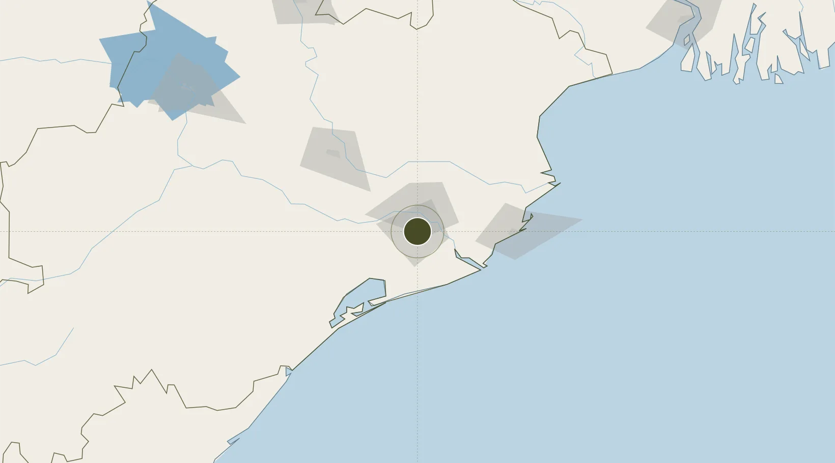
Nearby Logistics Neighbours

Ports
  1. 1Paradip88 km
  2. 2Dhamra131 km
  3. 3Gopalpur143 km
  4. 4Haldia Port302 km
  5. 5Calcutta360 km
Nearest neighbours — logibook spatial index (haversine) over the source coordinates
Airports
  1. 1Biju Patnaik International Airport5 km
  2. 2Rourkela Airport243 km
  3. 3Jharsuguda Airport259 km
  4. 4Utkela Airport278 km
  5. 5Sonari Airport283 km
Nearest neighbours — logibook spatial index (haversine) over the source coordinates
Cities
  1. 1Paradip Port78 km
  2. 2ICD JSL/JAJPUR79 km
  3. 3Paradip Garh86 km
  4. 4Dhamara124 km
  5. 5Tata Steel SEZ/Ganjam129 km
Nearest neighbours — logibook spatial index (haversine) over the source coordinates
Trade Zones
  1. 1Hindalco Industries Limited2 km
  2. 2Saraf Agencies private Limited141 km
  3. 3Vedanta Aluminium Limited263 km
  4. 4Adityapur Industrial area development authority280 km
  5. 5Falta Special Economic Zone322 km
Nearest neighbours — logibook spatial index (haversine) over the source coordinates
DatabookThe Record of Consolidated Knowledge
India beyond logistics?
Browse databook

All Sources

Trade ZonesOpen Zone Map
CC BY
Portsthe NGA World Port Index
Public domain (US gov)
AirportsOurAirports
Public domain
LocationsUN/LOCODE
UN/LOCODE — free
← India trade zones