Medium airport · India
Sonari AirportVEJS
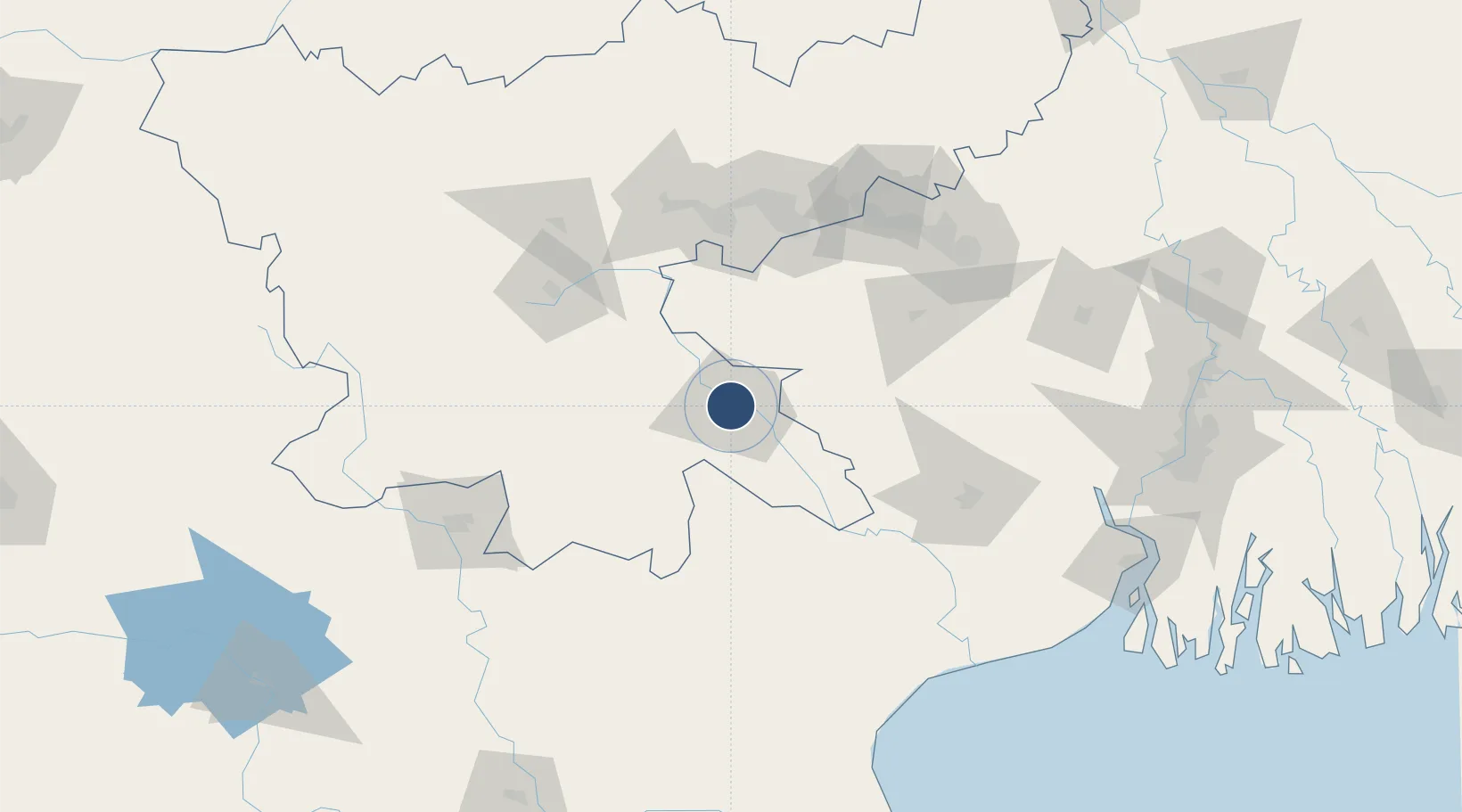
22.8137°, 86.1690°
4,010 ft
Longest runway
1
Runways
475 ft
Elevation
Runway & Layout

Radio Frequencies
TWR
122.1 MHz
Navaids
JJS VOR-DME Jamshedpur 115.40 MHz
Runways · 1
| Runway | Dimensions | Surface | True heading | Lit |
|---|---|---|---|---|
| 08/26 | 4,010 × 100ft | Asphalt | 081° | — |
Airport Specifications
IATA code
IXW
ICAO code
VEJS
Airport class
Medium airport
Scheduled service
No
Runway surface
Asphalt
Served city
Jamshedpur
Location
Nearby Logistics Neighbours
Airports
- 1Birsa Munda Airport103 km
- 2Dhanbad Airport116 km
- 3Kazi Nazrul Islam Airport142 km
- 4Panagarh Air Force Station148 km
- 5Rourkela Airport152 km
Cities
- 1Jamshedpur2 km
- 2Namkum101 km
- 3Bankura104 km
- 4Ranchi104 km
- 5Barbil113 km
Ports
- 1Haldia Port216 km
- 2Calcutta224 km
- 3Dhamra237 km
- 4Paradip288 km
- 5Mongla354 km
Trade Zones
DatabookThe Record of Consolidated Knowledge
India beyond logistics?