UN/LOCODE hub · India
INPRT

Paradip Garh

20.2608°, 86.6652°
85,868
Population
3
Transport functions

Transport Functions

Port
Rail
Road
UN/LOCODE

Hub Profile

Place type
Populated place
GeoNames
Region
Odisha
GeoNames
Population
85,868
GeoNames
Time zone
Asia/Kolkata
GeoNames
Elevation
6 m
GeoNames
Logistics facilities
1
UN/LOCODE

Location

Location of INPRT
Natural Earth 10m (public domain) · Odisha · INPRT · 20.26, 86.67GoogleOSMYandex

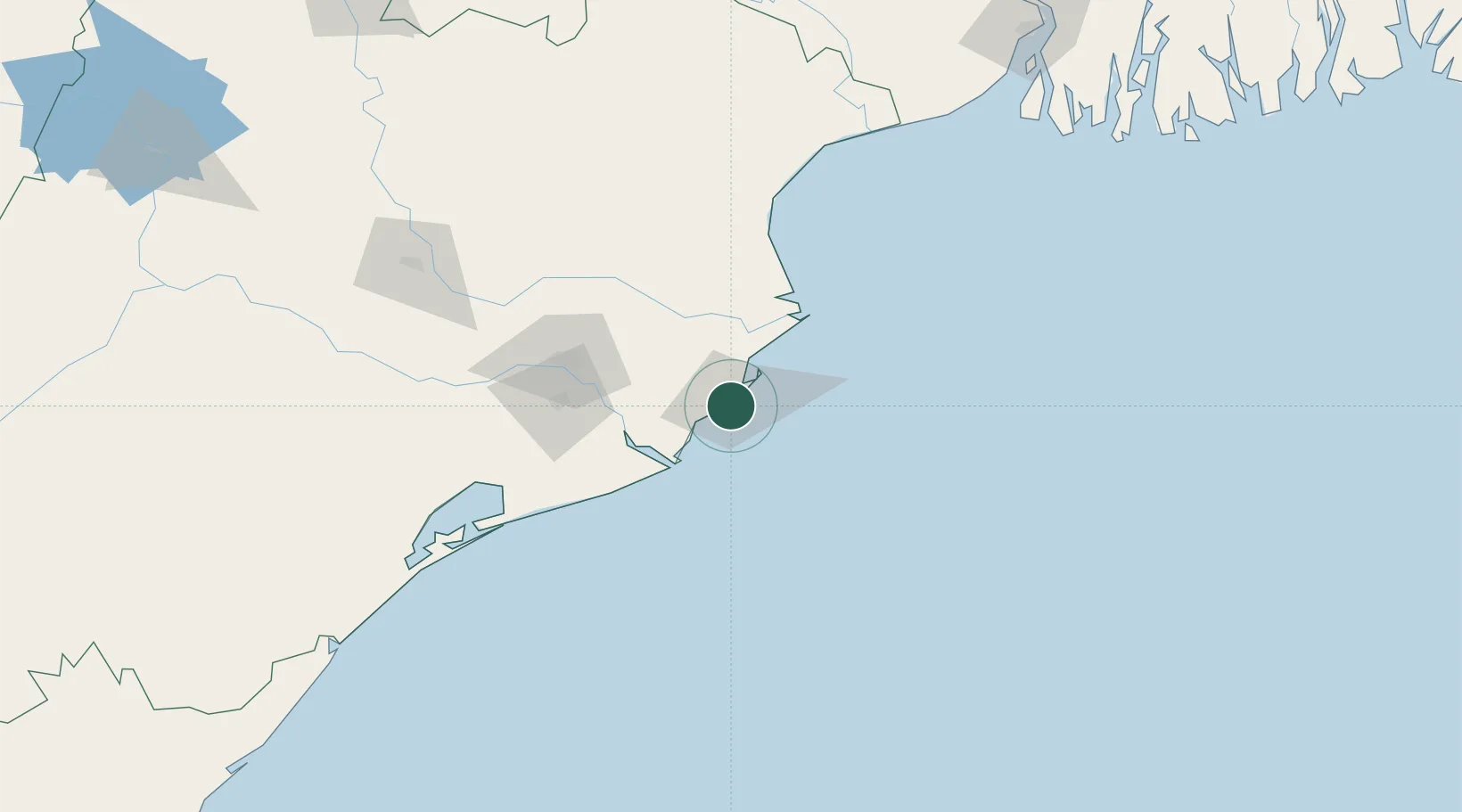
Nearby Logistics Neighbours

Cities
  1. 1Paradip Port9 km
  2. 2Dhamara65 km
  3. 3Dhamra Port69 km
  4. 4ICD JSL/JAJPUR101 km
  5. 5Concor ICD/Balasore138 km
Nearest neighbours — logibook spatial index (haversine) over the source coordinates
Ports
  1. 1Paradip2 km
  2. 2Dhamra69 km
  3. 3Gopalpur207 km
  4. 4Haldia Port244 km
  5. 5Calcutta308 km
Nearest neighbours — logibook spatial index (haversine) over the source coordinates
Airports
  1. 1Biju Patnaik International Airport89 km
  2. 2Sonari Airport289 km
  3. 3Rourkela Airport293 km
  4. 4Netaji Subhash Chandra Bose International Airport324 km
  5. 5Jharsuguda Airport328 km
Nearest neighbours — logibook spatial index (haversine) over the source coordinates
Trade Zones
  1. 1Orissa Industrial Development Corporation86 km
  2. 2Hindalco Industries Limited88 km
  3. 3Saraf Agencies private Limited207 km
  4. 4Falta Special Economic Zone269 km
  5. 5Adityapur Industrial area development authority286 km
Nearest neighbours — logibook spatial index (haversine) over the source coordinates
DatabookThe Record of Consolidated Knowledge
India beyond logistics?
Browse databook

All Sources

LocationsUN/LOCODE
UN/LOCODE — free
LocationsGeoNames
CC BY 4.0
Portsthe NGA World Port Index
Public domain (US gov)
AirportsOurAirports
Public domain
Trade Zonesthe World Bank SEZ database
CC BY 4.0
Trade ZonesOpen Zone Map
CC BY
← India locations