Specialized Zone · India

Saraf Agencies private Limited Active
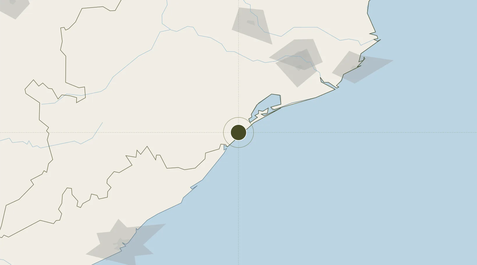
19.3319°, 84.9539°
105 ha
Zone area
3.6 km
Nearest port
136.2 km
Nearest airport

Gateway access

Nearest neighbours — logibook spatial index (haversine) over the source coordinates

Zone profile

Zone type
Specialized Zone
Open Zone Map
Specialization
Mining
Open Zone Map
Region
Odisha
Open Zone Map
Status
Active
Open Zone Map
Management
Private
Open Zone Map
Operator
Saraf Agencies
Open Zone Map
Legal framework
Odisha Policy for Special Economic Zones - 2015
Open Zone Map

Location

Location of ozm-2299
Natural Earth 10m (public domain) · Odisha · ozm-2299 · 19.33, 84.95GoogleOSMYandex

Nearby Logistics Neighbours

Ports
  1. 1Gopalpur4 km
  2. 2Paradip209 km
  3. 3Vishakhapatnam253 km
  4. 4Gangavaram261 km
  5. 5Dhamra267 km
Nearest neighbours — logibook spatial index (haversine) over the source coordinates
Airports
  1. 1Biju Patnaik International Airport136 km
  2. 2Utkela Airport204 km
  3. 3Visakhapatnam International Airport255 km
  4. 4Jharsuguda Airport302 km
  5. 5Jagdalpur Airport308 km
Nearest neighbours — logibook spatial index (haversine) over the source coordinates
Cities
  1. 1Tata Steel SEZ/Ganjam13 km
  2. 2Palasa85 km
  3. 3Orissa123 km
  4. 4Ranasthalam184 km
  5. 5Paradip Port199 km
Nearest neighbours — logibook spatial index (haversine) over the source coordinates
Trade Zones
  1. 1Hindalco Industries Limited141 km
  2. 2Orissa Industrial Development Corporation141 km
  3. 3Vedanta Aluminium Limited168 km
  4. 4Divi’s Laboratories Limited219 km
  5. 5Apiic, Madhurwada, Hill No. 2237 km
Nearest neighbours — logibook spatial index (haversine) over the source coordinates
DatabookThe Record of Consolidated Knowledge
India beyond logistics?
Browse databook

All Sources

Trade ZonesOpen Zone Map
CC BY
Portsthe NGA World Port Index
Public domain (US gov)
AirportsOurAirports
Public domain
LocationsUN/LOCODE
UN/LOCODE — free
← India trade zones