Medium airport · India

Rourkela AirportVERK
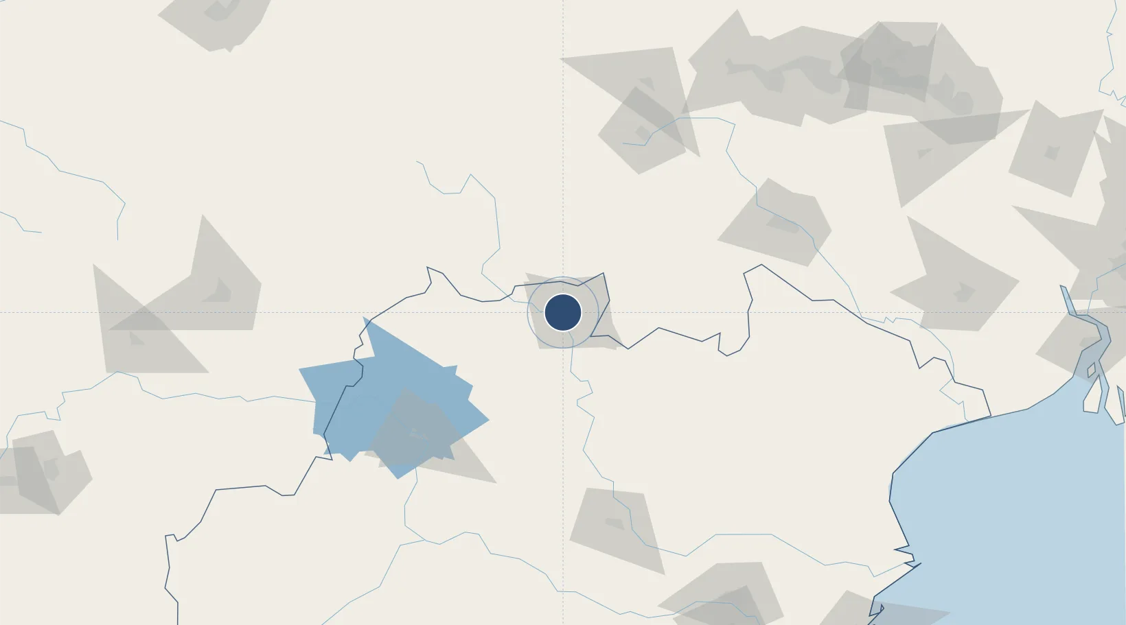
22.2566°, 84.8152°
5,987 ft
Longest runway
1
Runways
659 ft
Elevation

Runway & Layout

Rourkela Airport runway & taxiway layout
Runway & taxiway layout — OpenStreetMap (ODbL) / OurAirports

Radio Frequencies

TWR
122.3 MHz
ROURKELA TOWER
OurAirports

Runways · 1

RunwayDimensions SurfaceTrue headingLit
09/27 5,987 × 98ft Asphalt 089°
OurAirports

Airport Specifications

IATA code
RRK
OurAirports
ICAO code
VERK
OurAirports
Airport class
Medium airport
OurAirports
Scheduled service
No
OurAirports
Runway surface
Asphalt
OurAirports
Served city
Rourkela
OurAirports

Location

Location of VERK
Natural Earth 10m (public domain) · Odisha · VERK · 22.26, 84.82GoogleOSMYandex

Nearby Logistics Neighbours

Airports
  1. 1Jharsuguda Airport88 km
  2. 2Birsa Munda Airport129 km
  3. 3Sonari Airport152 km
  4. 4Maa Mahamaya Airport185 km
  5. 5Dhanbad Airport241 km
Nearest neighbours — logibook spatial index (haversine) over the source coordinates
Cities
  1. 1Barbil61 km
  2. 2Concor ICD/Jharsuguda87 km
  3. 3Jharsuguda95 km
  4. 4Vedanta SEZ/Jharsuguda95 km
  5. 5Lapanga101 km
Nearest neighbours — logibook spatial index (haversine) over the source coordinates
Ports
  1. 1Dhamra274 km
  2. 2Paradip294 km
  3. 3Gopalpur329 km
  4. 4Haldia Port338 km
  5. 5Calcutta363 km
Nearest neighbours — logibook spatial index (haversine) over the source coordinates
Trade Zones
  1. 1Adityapur Industrial area development authority151 km
  2. 2Hindalco Industries Limited241 km
  3. 3Orissa Industrial Development Corporation243 km
  4. 4Vedanta Aluminium Limited319 km
  5. 5Saraf Agencies private Limited326 km
Nearest neighbours — logibook spatial index (haversine) over the source coordinates
DatabookThe Record of Consolidated Knowledge
India beyond logistics?
Browse databook

All Sources

AirportsOurAirports
Public domain
Portsthe NGA World Port Index
Public domain (US gov)
LocationsUN/LOCODE
UN/LOCODE — free
Trade Zonesthe World Bank SEZ database
CC BY 4.0
Trade ZonesOpen Zone Map
CC BY
InfrastructureOpenStreetMap
ODbL 1.0
← India airports