Medium airport · India

Panagarh Air Force StationVEPH
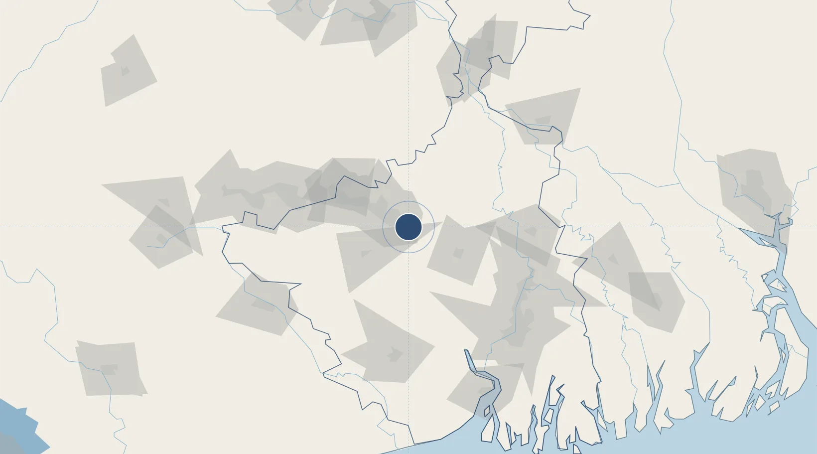
23.4743°, 87.4275°
9,000 ft
Longest runway
1
Runways
240 ft
Elevation

Runway & Layout

Panagarh Air Force Station runway & taxiway layout
Runway & taxiway layout — OpenStreetMap (ODbL) / OurAirports

Runways · 1

RunwayDimensions SurfaceTrue headingLit
15/33 9,000 × 150ft Asphalt 149°
OurAirports

Airport Specifications

ICAO code
VEPH
OurAirports
Airport class
Medium airport
OurAirports
Scheduled service
No
OurAirports
Runway surface
Asphalt
OurAirports

Location

Location of VEPH
Natural Earth 10m (public domain) · West Bengal · VEPH · 23.47, 87.43GoogleOSMYandex

Nearby Logistics Neighbours

Airports
  1. 1Kazi Nazrul Islam Airport25 km
  2. 2Dhanbad Airport110 km
  3. 3Deoghar Airport131 km
  4. 4Netaji Subhash Chandra Bose International Airport139 km
  5. 5Sonari Airport148 km
Nearest neighbours — logibook spatial index (haversine) over the source coordinates
Cities
  1. 1Durgapur7 km
  2. 2Bankura45 km
  3. 3Bardhaman52 km
  4. 4Chirkunda85 km
  5. 5Kharagpur127 km
Nearest neighbours — logibook spatial index (haversine) over the source coordinates
Ports
  1. 1Calcutta138 km
  2. 2Haldia Port176 km
  3. 3Mongla249 km
  4. 4Dhamra299 km
  5. 5Paradip365 km
Nearest neighbours — logibook spatial index (haversine) over the source coordinates
Trade Zones
  1. 1Falta Special Economic Zone140 km
  2. 2M.L. Dalmiya & Co Ltd.141 km
  3. 3M.L. Dalmiya and Company Limited141 km
  4. 4Manikanchan Special Economic Zone143 km
  5. 5Salt Lake Electronic City143 km
Nearest neighbours — logibook spatial index (haversine) over the source coordinates
DatabookThe Record of Consolidated Knowledge
India beyond logistics?
Browse databook

All Sources

AirportsOurAirports
Public domain
Portsthe NGA World Port Index
Public domain (US gov)
LocationsUN/LOCODE
UN/LOCODE — free
Trade Zonesthe World Bank SEZ database
CC BY 4.0
Trade ZonesOpen Zone Map
CC BY
InfrastructureOpenStreetMap
ODbL 1.0
← India airports