Transport Functions
Port
Hub Profile
Region
M
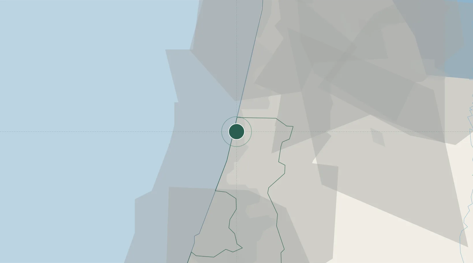
Location
Nearby Logistics Neighbours
Cities
- 1Netanya4 km
- 2Emek Hefer Industrial Park4 km
- 3Givat Haim5 km
- 4Qadima10 km
- 5Kfar Netter11 km
Airports
Trade Zones
DatabookThe Record of Consolidated Knowledge
Israel beyond logistics?