UN/LOCODE hub · Israel
ILGHM

Givat Haim

32.3833°, 34.9167°
1
Transport functions

Transport Functions

Multimodal
UN/LOCODE

Location

Location of ILGHM
Natural Earth 10m (public domain) · HaMerkaz · ILGHM · 32.38, 34.92GoogleOSMYandex

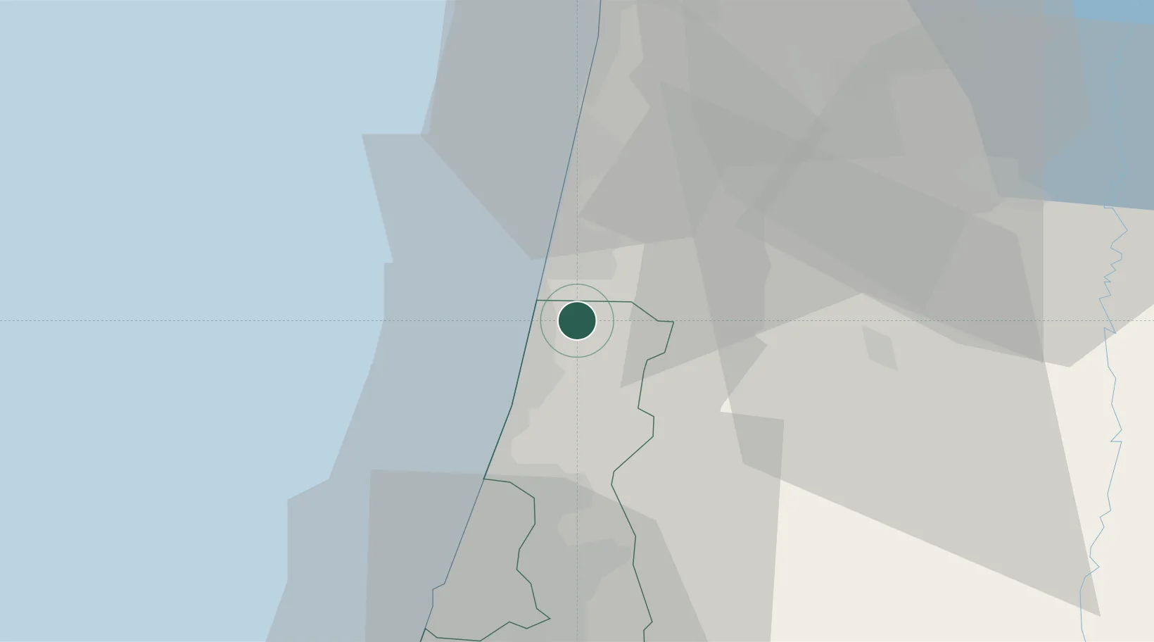
Nearby Logistics Neighbours

Cities
  1. 1Emek Hefer Industrial Park4 km
  2. 2Kfar Vitkin5 km
  3. 3Netanya7 km
  4. 4Qadima11 km
  5. 5Ma'anit13 km
Nearest neighbours — logibook spatial index (haversine) over the source coordinates
Ports
  1. 1Hadera9 km
  2. 2Haifa49 km
  3. 3Ashdod68 km
  4. 4Ashqelon89 km
  5. 5Sayda131 km
Nearest neighbours — logibook spatial index (haversine) over the source coordinates
Airports
  1. 1Ramat David Air Base40 km
  2. 2Ben Gurion International Airport42 km
  3. 3Uri Michaeli Haifa International Airport49 km
  4. 4Tel Nof Air Base61 km
  5. 5Rosh Pina Airport90 km
Nearest neighbours — logibook spatial index (haversine) over the source coordinates
Trade Zones
  1. 1Jenin Industrial Free Zone (JIFZ)36 km
  2. 2Jericho Argo- Industrial Park (JAIP)77 km
  3. 3Al-Karama Free Zone77 km
  4. 4Ajloun Ajlun Development Zone79 km
  5. 5Al-Salt Development Zone80 km
Nearest neighbours — logibook spatial index (haversine) over the source coordinates
DatabookThe Record of Consolidated Knowledge
Israel beyond logistics?
Browse databook

All Sources

LocationsUN/LOCODE
UN/LOCODE — free
Portsthe NGA World Port Index
Public domain (US gov)
AirportsOurAirports
Public domain
Trade Zonesthe World Bank SEZ database
CC BY 4.0
Trade ZonesOpen Zone Map
CC BY
← Israel locations