UN/LOCODE hub · Israel
ILEHF

Emek Hefer Industrial Park

32.4000°, 34.8833°
1
Transport functions

Transport Functions

Multimodal
UN/LOCODE

Hub Profile

Region
M
GeoNames

Location

Location of ILEHF
Natural Earth 10m (public domain) · M · ILEHF · 32.40, 34.88GoogleOSMYandex

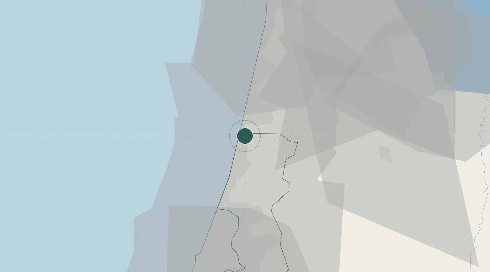
Nearby Logistics Neighbours

Cities
  1. 1Givat Haim4 km
  2. 2Kfar Vitkin4 km
  3. 3Netanya8 km
  4. 4Qadima13 km
  5. 5Binyamina-Giv'at Ada14 km
Nearest neighbours — logibook spatial index (haversine) over the source coordinates
Ports
  1. 1Hadera8 km
  2. 2Haifa48 km
  3. 3Ashdod69 km
  4. 4Ashqelon89 km
  5. 5Sayda130 km
Nearest neighbours — logibook spatial index (haversine) over the source coordinates
Airports
  1. 1Ramat David Air Base41 km
  2. 2Ben Gurion International Airport43 km
  3. 3Uri Michaeli Haifa International Airport48 km
  4. 4Tel Nof Air Base63 km
  5. 5Rosh Pina Airport91 km
Nearest neighbours — logibook spatial index (haversine) over the source coordinates
Trade Zones
  1. 1Jenin Industrial Free Zone (JIFZ)38 km
  2. 2Jericho Argo- Industrial Park (JAIP)80 km
  3. 3Al-Karama Free Zone81 km
  4. 4Ajloun Ajlun Development Zone82 km
  5. 5Bethlehem Industrial Estate -BIE83 km
Nearest neighbours — logibook spatial index (haversine) over the source coordinates
DatabookThe Record of Consolidated Knowledge
Israel beyond logistics?
Browse databook

All Sources

LocationsUN/LOCODE
UN/LOCODE — free
Portsthe NGA World Port Index
Public domain (US gov)
AirportsOurAirports
Public domain
Trade Zonesthe World Bank SEZ database
CC BY 4.0
Trade ZonesOpen Zone Map
CC BY
← Israel locations