Channel & Berth Profile
Pilotage, Tugs & Services
Pilotage compulsoryYES
Pilotage availableYES
Pilotage advisableYES
Tug assistanceYES
Salvage tugsNO
Shore powerYES
Potable waterYES
Diesel bunkersYES
MedicalYES
Garbage disposalYES
Facilities & Capabilities
Container—
Ro-Ro—
Liquid bulk—
Dry bulk—
Oil terminal—
Break bulk—
Dry dock—
RepairsNO
BunkeringYES
Rail linkYES
Dangerous cargo—
ISPS security—
Harbour Specifications
Harbour size
Very Small
Harbour type
River (Tide Gates)
Shelter
Fair
Water body
North Atlantic Ocean
Tidal range
4 m
Overhead limit
No
Pilotage
Yes
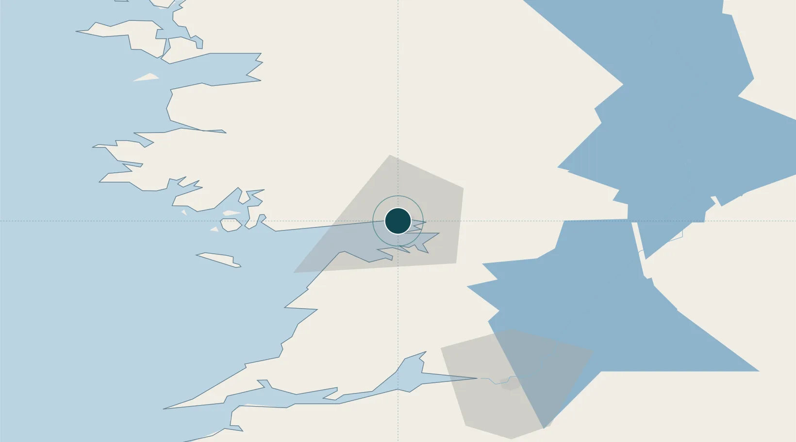
Location
Nearby Logistics Neighbours
Cities
- 1Gort29 km
- 2Tuam31 km
- 3Rossaveel33 km
- 4Ennistymon40 km
- 5Kilronan44 km
Airports
- 1Connemara Regional Airport28 km
- 2Inisheer Aerodrome38 km
- 3Inishmaan Aerodrome40 km
- 4Inishmore Aerodrome44 km
- 5Shannon Airport63 km
Trade Zones
DatabookThe Record of Consolidated Knowledge
Ireland beyond logistics?