Transport Functions
Port
Airport
Postal
Hub Profile
Place type
Populated place
Region
Munster
Population
9,729
Time zone
Europe/Dublin
Elevation
2 m
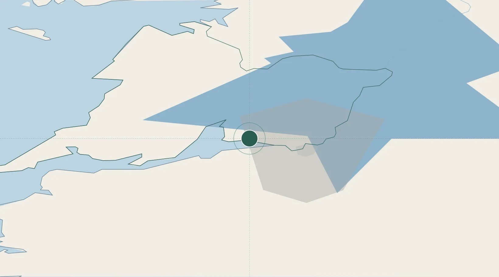
Location
Nearby Logistics Neighbours
Cities
- 1Clarecastle15 km
- 2Rathkeale21 km
- 3Ballina30 km
- 4Murroe32 km
- 5Ennistymon39 km
Airports
- 1Shannon Airport5 km
- 2Inisheer Aerodrome60 km
- 3Inishmaan Aerodrome65 km
- 4Inishmore Aerodrome70 km
- 5Connemara Regional Airport72 km
Trade Zones
DatabookThe Record of Consolidated Knowledge
Ireland beyond logistics?