UN/LOCODE hub · Ireland
IEKRY

Kilmurry

52.8000°, -9.4500°
1
Transport functions

Transport Functions

Multimodal
UN/LOCODE

Hub Profile

Place type
Populated place
GeoNames
Region
Munster
GeoNames
Time zone
Europe/Dublin
GeoNames
Elevation
26 m
GeoNames

Location

Location of IEKRY
Natural Earth 10m (public domain) · Munster · IEKRY · 52.80, -9.45GoogleOSMYandex

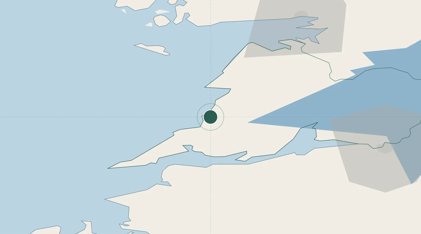
Nearby Logistics Neighbours

Cities
  1. 1Doonbeg9 km
  2. 2Ennistymon19 km
  3. 3Clarecastle34 km
  4. 4Kilronan38 km
  5. 5Shannon42 km
Nearest neighbours — logibook spatial index (haversine) over the source coordinates
Ports
  1. 1Kilrush19 km
  2. 2Tarbert25 km
  3. 3Foynes30 km
  4. 4Galway58 km
  5. 5Limerick59 km
Nearest neighbours — logibook spatial index (haversine) over the source coordinates
Airports
  1. 1Inisheer Aerodrome30 km
  2. 2Inishmaan Aerodrome34 km
  3. 3Inishmore Aerodrome37 km
  4. 4Shannon Airport37 km
  5. 5Connemara Regional Airport48 km
Nearest neighbours — logibook spatial index (haversine) over the source coordinates
Trade Zones
  1. 1Shannon Free Zone39 km
  2. 2Dublin International Financial Services Centre222 km
  3. 3Isle of Man Free Zone and Business Park350 km
  4. 4Cornwall Newquay Aerohub Enterprise Zone405 km
  5. 5Mersey Waters Enterprise Zone434 km
Nearest neighbours — logibook spatial index (haversine) over the source coordinates
DatabookThe Record of Consolidated Knowledge
Ireland beyond logistics?
Browse databook

All Sources

LocationsUN/LOCODE
UN/LOCODE — free
Portsthe NGA World Port Index
Public domain (US gov)
AirportsOurAirports
Public domain
Trade Zonesthe World Bank SEZ database
CC BY 4.0
Trade ZonesOpen Zone Map
CC BY
← Ireland locations