UN/LOCODE hub · Ireland
IECLC

Clarecastle

52.8167°, -8.9500°
2
Transport functions

Transport Functions

Port
Road
UN/LOCODE

Hub Profile

Place type
Populated place
GeoNames
Region
Munster
GeoNames
Time zone
Europe/Dublin
GeoNames
Elevation
4 m
GeoNames

Location

Location of IECLC
Natural Earth 10m (public domain) · Munster · IECLC · 52.82, -8.95GoogleOSMYandex

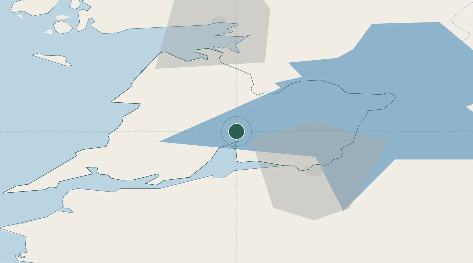
Nearby Logistics Neighbours

Cities
  1. 1Shannon15 km
  2. 2Ennistymon26 km
  3. 3Gort28 km
  4. 4Rathkeale33 km
  5. 5Kilmurry34 km
Nearest neighbours — logibook spatial index (haversine) over the source coordinates
Ports
  1. 1Foynes25 km
  2. 2Limerick30 km
  3. 3Tarbert38 km
  4. 4Kilrush42 km
  5. 5Galway51 km
Nearest neighbours — logibook spatial index (haversine) over the source coordinates
Airports
  1. 1Shannon Airport13 km
  2. 2Inisheer Aerodrome47 km
  3. 3Inishmaan Aerodrome52 km
  4. 4Inishmore Aerodrome57 km
  5. 5Connemara Regional Airport58 km
Nearest neighbours — logibook spatial index (haversine) over the source coordinates
Trade Zones
  1. 1Shannon Free Zone13 km
  2. 2Dublin International Financial Services Centre190 km
  3. 3Isle of Man Free Zone and Business Park319 km
  4. 4Cornwall Newquay Aerohub Enterprise Zone380 km
  5. 5Mersey Waters Enterprise Zone401 km
Nearest neighbours — logibook spatial index (haversine) over the source coordinates
DatabookThe Record of Consolidated Knowledge
Ireland beyond logistics?
Browse databook

All Sources

LocationsUN/LOCODE
UN/LOCODE — free
Portsthe NGA World Port Index
Public domain (US gov)
AirportsOurAirports
Public domain
Trade Zonesthe World Bank SEZ database
CC BY 4.0
Trade ZonesOpen Zone Map
CC BY
← Ireland locations