Transport Functions
Port
Road
Hub Profile
Region
CE
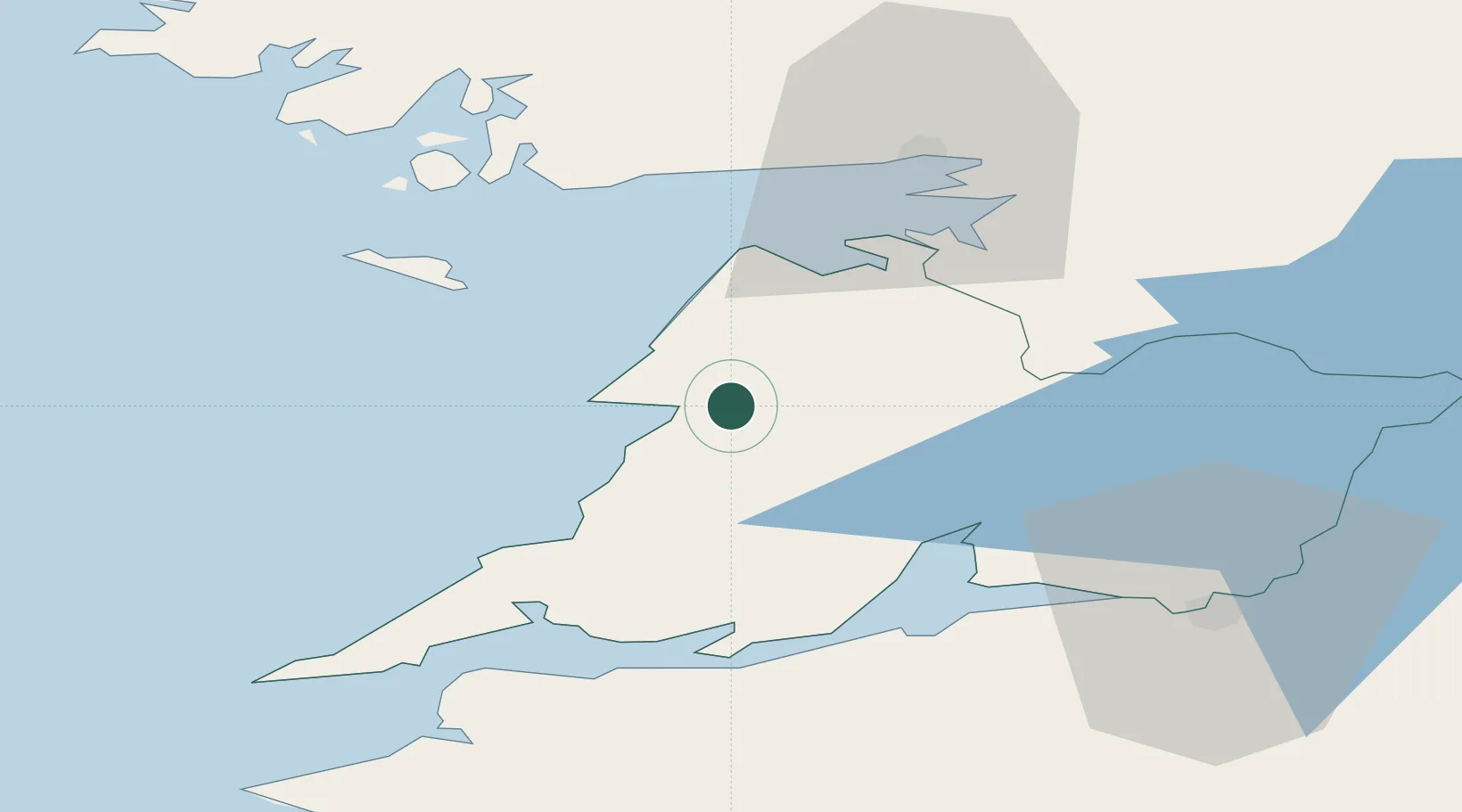
Location
Nearby Logistics Neighbours
Cities
- 1Kilmurry19 km
- 2Clarecastle26 km
- 3Doonbeg27 km
- 4Kilronan33 km
- 5Gort35 km
Airports
- 1Inisheer Aerodrome21 km
- 2Inishmaan Aerodrome26 km
- 3Inishmore Aerodrome31 km
- 4Shannon Airport35 km
- 5Connemara Regional Airport35 km
Trade Zones
DatabookThe Record of Consolidated Knowledge
Ireland beyond logistics?