Transport Functions
Port
Hub Profile
Region
MA
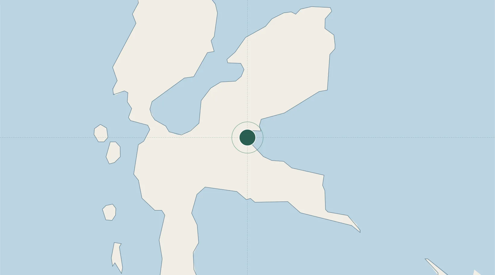
Location
Nearby Logistics Neighbours
Cities
- 1Tanjung Buli7 km
- 2Gee Island12 km
- 3Subaim38 km
- 4Akeselaka41 km
- 5Kau57 km
Ports
- 1Ternate93 km
- 2Labuha178 km
- 3Bitung345 km
- 4Manado385 km
- 5Kasim Terminal388 km
Airports
- 1Sultan Babullah Airport93 km
- 2Pitu Airport141 km
- 3Marinda Airport314 km
- 4Sam Ratulangi International Airport376 km
- 5Domine Eduard Osok Airport389 km
Trade Zones
- 1KEK Morotai147 km
- 2Bitung Special Economic Zone354 km
- 3KEK Likupang355 km
- 4KEK Sorong392 km
- 5Kamanga Agro-Industrial Economic Zone664 km
DatabookThe Record of Consolidated Knowledge
Indonesia beyond logistics?