Transport Functions
Port
Hub Profile
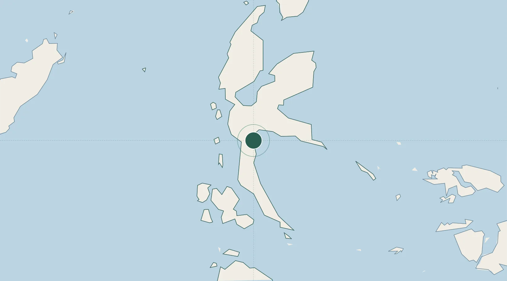
Place type
Provincial seat
Region
North Maluku
Time zone
Asia/Jayapura
Elevation
4 m
Location
Nearby Logistics Neighbours
Cities
- 1Mornopo62 km
- 2Tanjung Buli69 km
- 3Gee Island74 km
- 4Sidangoli77 km
- 5Akeselaka80 km
Airports
- 1Sultan Babullah Airport79 km
- 2Pitu Airport197 km
- 3Marinda Airport332 km
- 4Sam Ratulangi International Airport356 km
- 5Namniwel Airport400 km
Trade Zones
- 1KEK Morotai202 km
- 2Bitung Special Economic Zone332 km
- 3KEK Likupang338 km
- 4KEK Sorong403 km
- 5Kamanga Agro-Industrial Economic Zone689 km
DatabookThe Record of Consolidated Knowledge
Indonesia beyond logistics?