Channel & Berth Profile
Facilities & Capabilities
Container—
Ro-Ro—
Liquid bulk—
Dry bulk—
Oil terminal—
Break bulk—
Dry dock—
Repairs—
Bunkering—
Rail link—
Dangerous cargo—
ISPS security—
Harbour Specifications
Harbour size
Very Small
Harbour type
Coastal (Natural)
Shelter
Fair
Water body
Ceram Sea; Banda Sea; South Pacific Ocean
Tidal range
2 m
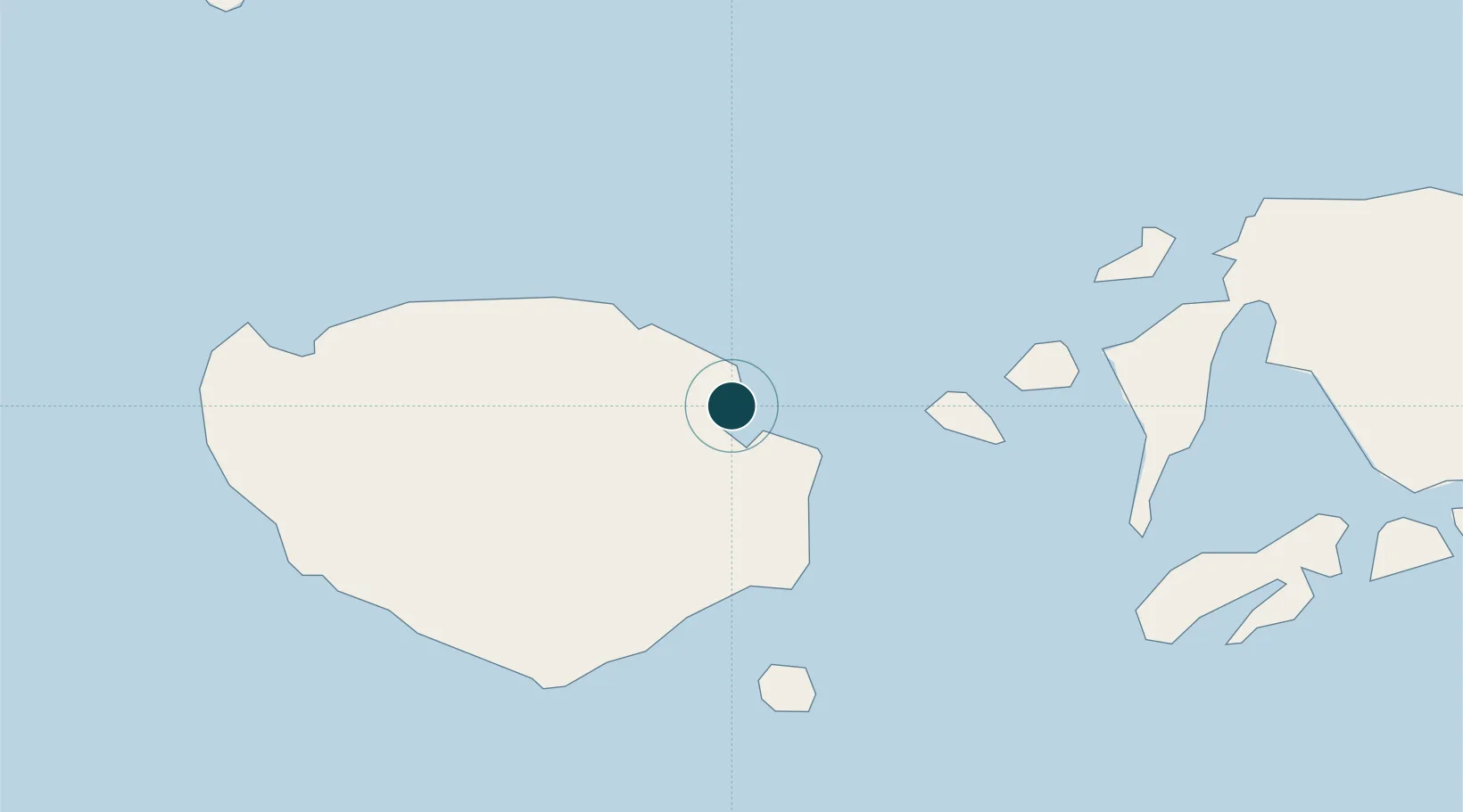
Location
Nearby Logistics Neighbours
Cities
- 1Wainibe66 km
- 2Wamsasi107 km
- 3Loki107 km
- 4Piru125 km
- 5Ambon, Molucas130 km
Airports
- 1Namniwel Airport20 km
- 2Pattimura International Airport121 km
- 3Matahora Airport443 km
- 4Sultan Babullah Airport459 km
- 5Marinda Airport519 km
Trade Zones
- 1KEK Sorong526 km
- 2Morowali Industrial Park549 km
- 3Bitung Special Economic Zone565 km
- 4Atauro Special Economic Zone573 km
- 5KEK Likupang592 km
DatabookThe Record of Consolidated Knowledge
Indonesia beyond logistics?