Channel & Berth Profile
Pilotage, Tugs & Services
Pilotage compulsoryYES
Pilotage availableYES
Local assistanceYES
Tug assistanceYES
Salvage tugsNO
Potable waterYES
Diesel bunkersNO
MedicalNO
Facilities & Capabilities
Container—
Ro-Ro—
Liquid bulk—
Dry bulk—
Oil terminal—
Break bulk—
Dry dock—
RepairsNO
BunkeringNO
Rail link—
Dangerous cargo—
ISPS security—
Harbour Specifications
Harbour size
Small
Harbour type
River (Natural)
Shelter
Poor
Water body
South Pacific Ocean
Tidal range
2 m
Pilotage
Yes
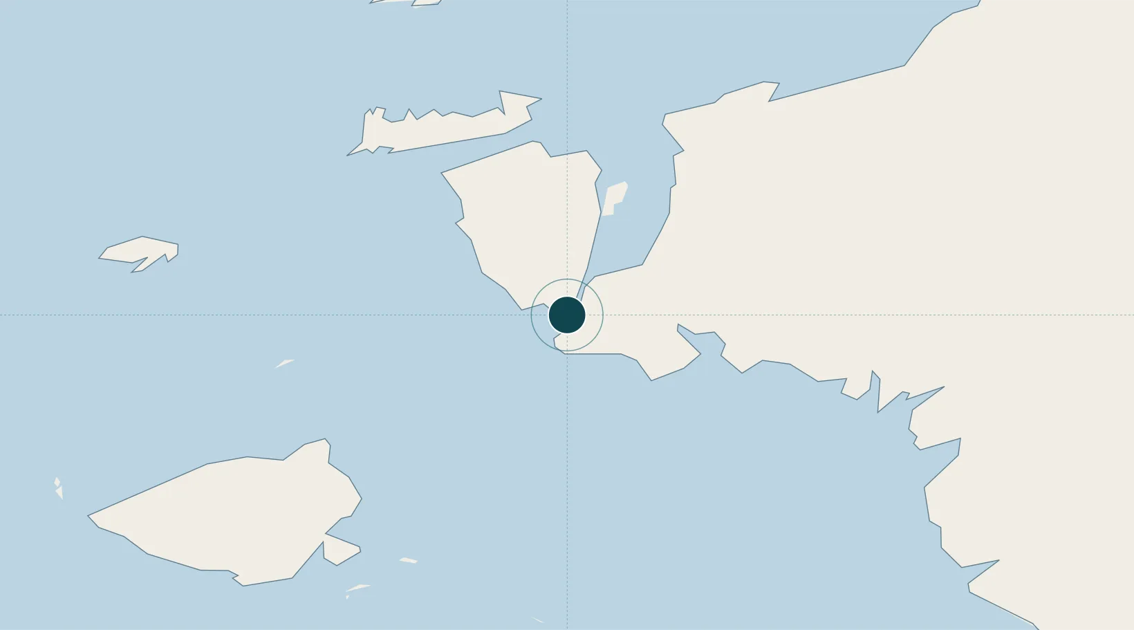
Location
Nearby Logistics Neighbours
Ports
- 1Kasim Terminal7 km
- 2Bula202 km
- 3Fakfak228 km
- 4Wahai229 km
- 5Manokwari Road349 km
Cities
- 1Misool Terminal57 km
- 2Sorong60 km
- 3Inanwatan158 km
- 4Kokas220 km
- 5Angar256 km
Airports
- 1Domine Eduard Osok Airport61 km
- 2Marinda Airport106 km
- 3Werur Airport169 km
- 4Fakfak Airport226 km
- 5Babo Airport303 km
Trade Zones
- 1KEK Sorong46 km
- 2KEK Morotai487 km
- 3Bitung Special Economic Zone723 km
- 4KEK Likupang730 km
- 5Atauro Special Economic Zone969 km
DatabookThe Record of Consolidated Knowledge
Indonesia beyond logistics?