Seaport · Indonesia
Manokwari RoadIDMKW
-0.8667°, 134.0833°
9.4 m
Channel depth
8.8
Port liner connectivity
Channel & Berth Profile
Pilotage, Tugs & Services
Pilotage compulsoryYES
Pilotage availableYES
Pilotage advisableYES
Tug assistanceYES
Potable waterYES
Diesel bunkersNO
MedicalYES
Facilities & Capabilities
Container—
Ro-Ro—
Liquid bulk—
Dry bulk—
Oil terminal—
Break bulk—
Dry dockNO
RepairsNO
BunkeringYES
Rail link—
Dangerous cargo—
ISPS security—
Harbour Specifications
Harbour size
Very Small
Harbour type
Coastal (Natural)
Shelter
Good
Water body
Teluk Cenderawasih; South Pacific Ocean
Tidal range
1 m
Pilotage
Yes
Liner Connectivity
8.8
PLSCI
Port Liner Shipping Connectivity Index for Manokwari Road, as published by UNCTAD for the latest available quarter. Higher values indicate stronger scheduled liner-shipping integration.
Shown relative to the highest per-port PLSCI in the dataset (1,657.9).
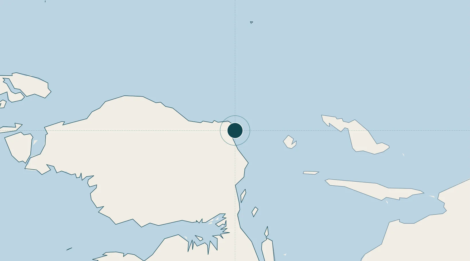
Location
Nearby Logistics Neighbours
Ports
- 1Fakfak305 km
- 2Kasim Terminal344 km
- 3Salawati349 km
- 4Bula469 km
- 5Amamapare544 km
Cities
- 1Oransbari58 km
- 2Mapia Island196 km
- 3Inanwatan255 km
- 4Kokas274 km
- 5Sorong316 km
Airports
- 1Rendani Airport5 km
- 2Babo Airport199 km
- 3Werur Airport216 km
- 4Frans Kaisiepo Airport228 km
- 5Stevanus Rumbewas Airport245 km
Trade Zones
- 1KEK Sorong316 km
- 2KEK Morotai724 km
- 3Vanimo Special Economic Zone826 km
- 4Sandaun Special Economic Zone836 km
- 5Sepik Special Economic Zone913 km
DatabookThe Record of Consolidated Knowledge
Indonesia beyond logistics?