UN/LOCODE hub · Indonesia
IDSWT

Salawati Terminal

-1.3500°, 131.0000°
1
Transport functions

Transport Functions

Port
Salawati Terminal is also a profiled seaport →
UN/LOCODE

Hub Profile

Region
PB
GeoNames

Location

Location of IDSWT
Natural Earth 10m (public domain) · PB · IDSWT · -1.35, 131.00GoogleOSMYandex

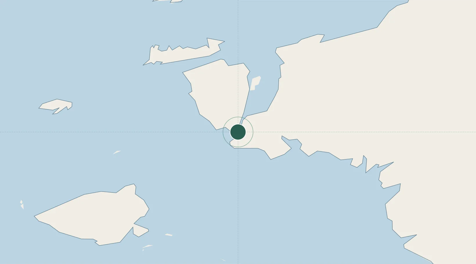
Nearby Logistics Neighbours

Cities
  1. 1Misool Terminal59 km
  2. 2Sorong59 km
  3. 3Inanwatan156 km
  4. 4Kokas219 km
  5. 5Angar256 km
Nearest neighbours — logibook spatial index (haversine) over the source coordinates
Ports
  1. 1Kasim Terminal6 km
  2. 2Bula202 km
  3. 3Fakfak227 km
  4. 4Wahai231 km
  5. 5Manokwari Road347 km
Nearest neighbours — logibook spatial index (haversine) over the source coordinates
Airports
  1. 1Domine Eduard Osok Airport60 km
  2. 2Marinda Airport106 km
  3. 3Werur Airport168 km
  4. 4Fakfak Airport224 km
  5. 5Babo Airport301 km
Nearest neighbours — logibook spatial index (haversine) over the source coordinates
Trade Zones
  1. 1KEK Sorong45 km
  2. 2KEK Morotai488 km
  3. 3Bitung Special Economic Zone724 km
  4. 4KEK Likupang732 km
  5. 5Atauro Special Economic Zone970 km
Nearest neighbours — logibook spatial index (haversine) over the source coordinates
DatabookThe Record of Consolidated Knowledge
Indonesia beyond logistics?
Browse databook

All Sources

LocationsUN/LOCODE
UN/LOCODE — free
Portsthe NGA World Port Index
Public domain (US gov)
AirportsOurAirports
Public domain
Trade Zonesthe World Bank SEZ database
CC BY 4.0
Trade ZonesOpen Zone Map
CC BY
← Indonesia locations