UN/LOCODE hub · Indonesia
IDSOQ
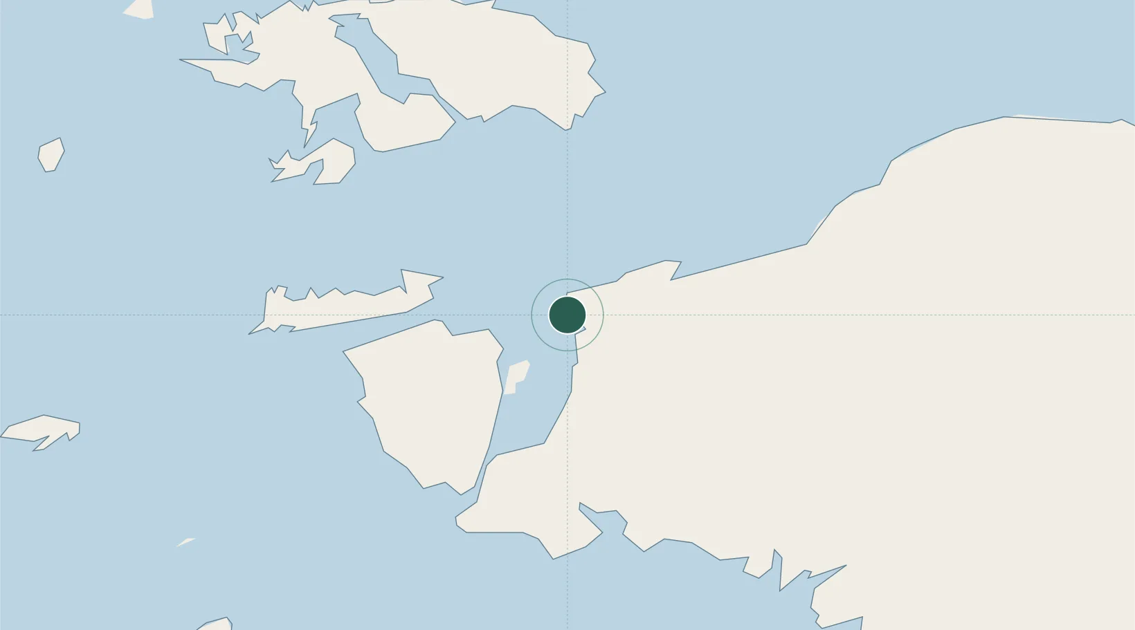
Sorong
-0.8775°, 131.2439°
254,294
Population
2
Transport functions
1
Container terminals
Transport Functions
Port
Airport
Hub Profile
Place type
Regional capital
Region
Southwest Papua
Population
254,294
Time zone
Asia/Jayapura
Elevation
7 m
Logistics facilities
1
Container terminals
1
Location
Nearby Logistics Neighbours
Cities
- 1Salawati Terminal59 km
- 2Misool Terminal111 km
- 3Inanwatan173 km
- 4Kokas242 km
- 5Angar312 km
Ports
- 1Kasim Terminal53 km
- 2Salawati60 km
- 3Fakfak256 km
- 4Bula261 km
- 5Wahai287 km
Airports
- 1Domine Eduard Osok Airport5 km
- 2Marinda Airport73 km
- 3Werur Airport117 km
- 4Fakfak Airport254 km
- 5Babo Airport306 km
Trade Zones
- 1KEK Sorong17 km
- 2KEK Morotai467 km
- 3Bitung Special Economic Zone729 km
- 4KEK Likupang734 km
- 5National Capitol Complex Tax Free Zone1003 km
DatabookThe Record of Consolidated Knowledge
Indonesia beyond logistics?