UN/LOCODE hub · Indonesia
IDINA

Inanwatan

-2.1333°, 132.1667°
2
Transport functions

Transport Functions

Port
Airport
UN/LOCODE

Hub Profile

Region
PB
GeoNames

Location

Location of IDINA
Natural Earth 10m (public domain) · PB · IDINA · -2.13, 132.17GoogleOSMYandex

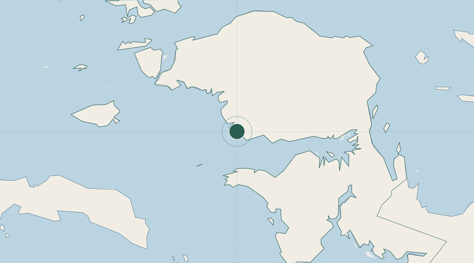
Nearby Logistics Neighbours

Cities
  1. 1Kokas70 km
  2. 2Salawati Terminal156 km
  3. 3Sorong173 km
  4. 4Misool Terminal194 km
  5. 5Angar224 km
Nearest neighbours — logibook spatial index (haversine) over the source coordinates
Ports
  1. 1Fakfak90 km
  2. 2Salawati158 km
  3. 3Kasim Terminal158 km
  4. 4Bula214 km
  5. 5Manokwari Road255 km
Nearest neighbours — logibook spatial index (haversine) over the source coordinates
Airports
  1. 1Fakfak Airport88 km
  2. 2Babo Airport148 km
  3. 3Domine Eduard Osok Airport169 km
  4. 4Werur Airport191 km
  5. 5Utarom Airport239 km
Nearest neighbours — logibook spatial index (haversine) over the source coordinates
Trade Zones
  1. 1KEK Sorong160 km
  2. 2KEK Morotai638 km
  3. 3Bitung Special Economic Zone879 km
  4. 4KEK Likupang887 km
  5. 5Atauro Special Economic Zone993 km
Nearest neighbours — logibook spatial index (haversine) over the source coordinates
DatabookThe Record of Consolidated Knowledge
Indonesia beyond logistics?
Browse databook

All Sources

LocationsUN/LOCODE
UN/LOCODE — free
Portsthe NGA World Port Index
Public domain (US gov)
AirportsOurAirports
Public domain
Trade Zonesthe World Bank SEZ database
CC BY 4.0
Trade ZonesOpen Zone Map
CC BY
← Indonesia locations