Channel & Berth Profile
Pilotage, Tugs & Services
Pilotage compulsoryYES
Pilotage availableYES
Tug assistanceNO
Salvage tugsNO
Potable waterYES
Diesel bunkersNO
MedicalYES
Facilities & Capabilities
Container—
Ro-Ro—
Liquid bulk—
Dry bulk—
Oil terminal—
Break bulk—
Dry dock—
Repairs—
BunkeringNO
Rail link—
Dangerous cargo—
ISPS security—
Harbour Specifications
Harbour size
Very Small
Harbour type
Coastal (Natural)
Shelter
Fair
Water body
Ceram Sea; Banda Sea; South Pacific Ocean
Tidal range
1 m
Pilotage
Yes
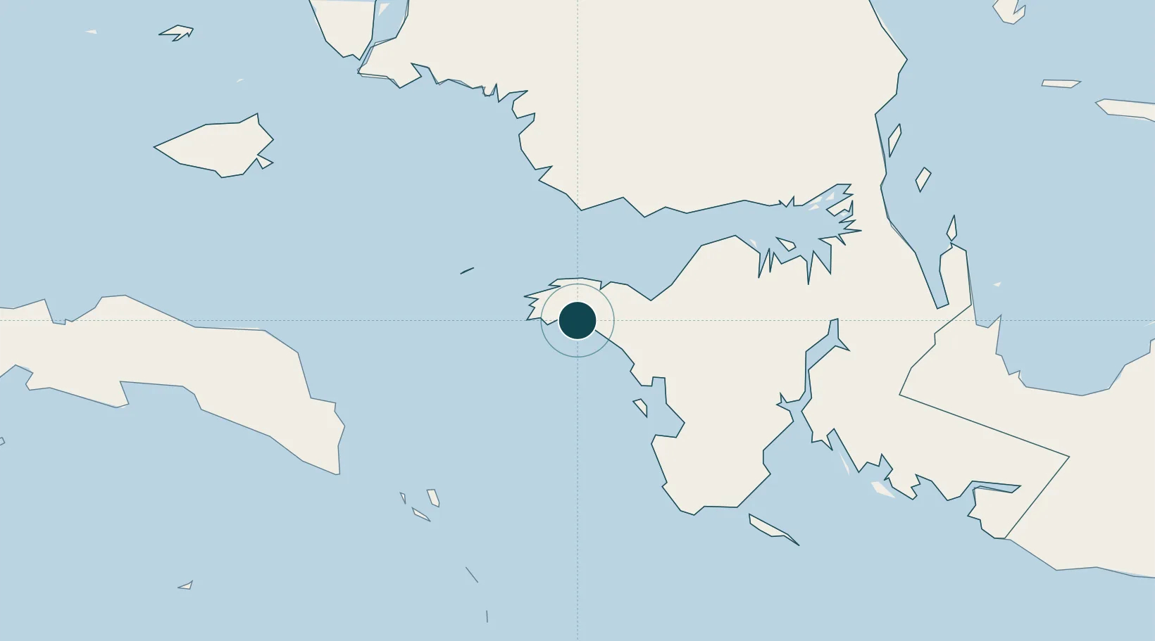
Location
Nearby Logistics Neighbours
Ports
- 1Bula199 km
- 2Salawati228 km
- 3Kasim Terminal230 km
- 4Manokwari Road305 km
- 5Wahai310 km
Cities
- 1Kokas31 km
- 2Inanwatan90 km
- 3Angar180 km
- 4Salawati Terminal227 km
- 5Misool Terminal248 km
Airports
- 1Fakfak Airport2 km
- 2Babo Airport136 km
- 3Utarom Airport176 km
- 4Domine Eduard Osok Airport252 km
- 5Werur Airport280 km
Trade Zones
- 1KEK Sorong241 km
- 2KEK Morotai715 km
- 3Bitung Special Economic Zone933 km
- 4KEK Likupang944 km
- 5Atauro Special Economic Zone944 km
DatabookThe Record of Consolidated Knowledge
Indonesia beyond logistics?