Runway & Layout

Runways · 1
| Runway | Dimensions | Surface | True heading | Lit |
|---|---|---|---|---|
| 06/24 | — | Sand/Grass | — | — |
Airport Specifications
ICAO code
WAUE
Airport class
Small airport
Scheduled service
Yes
Served city
Mar
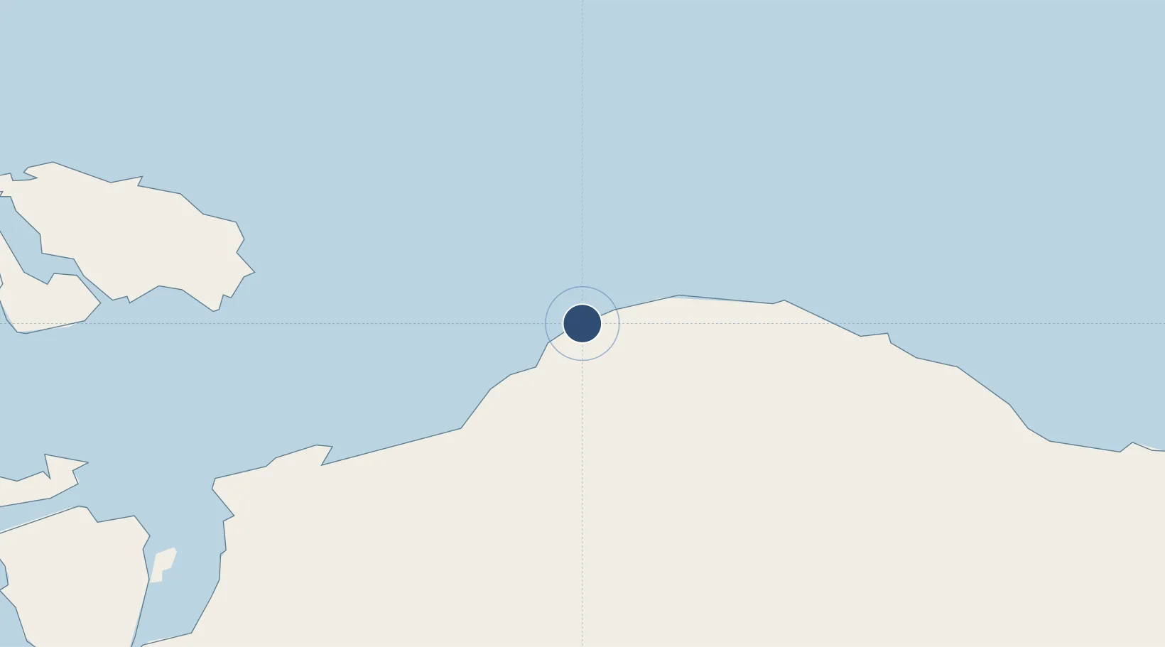
Location
Nearby Logistics Neighbours
Airports
- 1Domine Eduard Osok Airport113 km
- 2Marinda Airport157 km
- 3Rendani Airport213 km
- 4Babo Airport273 km
- 5Fakfak Airport278 km
Cities
- 1Sorong117 km
- 2Salawati Terminal168 km
- 3Inanwatan191 km
- 4Misool Terminal225 km
- 5Oransbari253 km
Ports
- 1Kasim Terminal163 km
- 2Salawati169 km
- 3Manokwari Road216 km
- 4Fakfak280 km
- 5Bula352 km
Trade Zones
- 1KEK Sorong125 km
- 2KEK Morotai516 km
- 3Bitung Special Economic Zone815 km
- 4KEK Likupang816 km
- 5National Capitol Complex Tax Free Zone921 km
DatabookThe Record of Consolidated Knowledge
Indonesia beyond logistics?