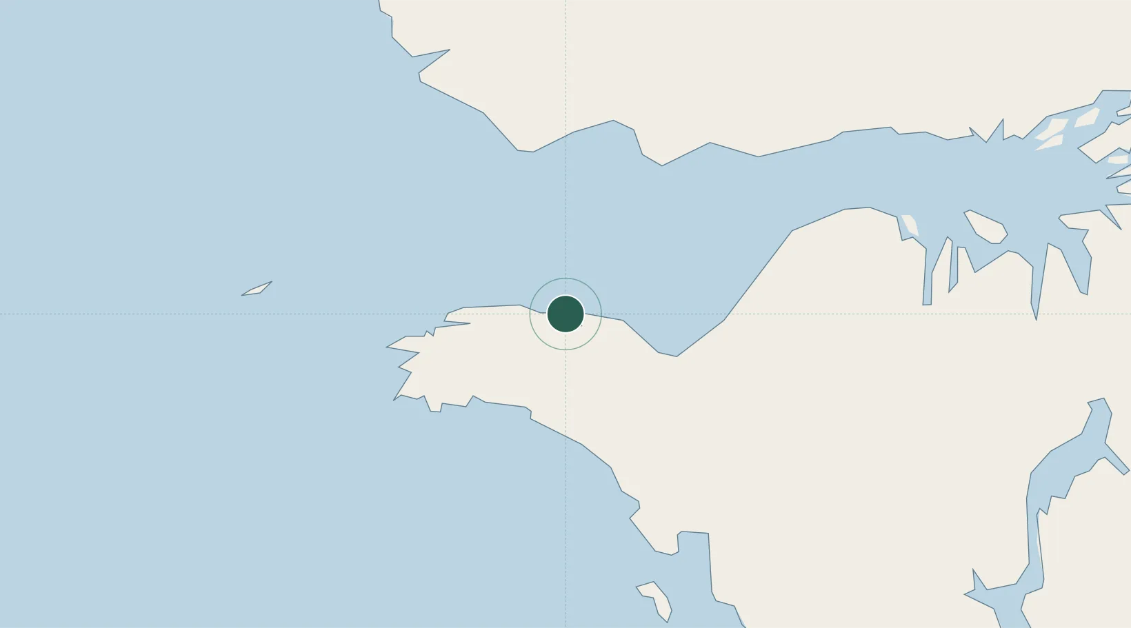
UN/LOCODE hub · Indonesia
IDKOK

Kokas

-2.7000°, 132.4333°
1
Transport functions

Transport Functions

Port
UN/LOCODE

Hub Profile

Region
PB
GeoNames

Location

Location of IDKOK
Natural Earth 10m (public domain) · PB · IDKOK · -2.70, 132.43GoogleOSMYandex

Nearby Logistics Neighbours

Cities
  1. 1Inanwatan70 km
  2. 2Angar207 km
  3. 3Salawati Terminal219 km
  4. 4Sorong242 km
  5. 5Misool Terminal248 km
Nearest neighbours — logibook spatial index (haversine) over the source coordinates
Ports
  1. 1Fakfak31 km
  2. 2Bula219 km
  3. 3Salawati220 km
  4. 4Kasim Terminal221 km
  5. 5Manokwari Road274 km
Nearest neighbours — logibook spatial index (haversine) over the source coordinates
Airports
  1. 1Fakfak Airport31 km
  2. 2Babo Airport113 km
  3. 3Utarom Airport175 km
  4. 4Domine Eduard Osok Airport238 km
  5. 5Werur Airport255 km
Nearest neighbours — logibook spatial index (haversine) over the source coordinates
Trade Zones
  1. 1KEK Sorong228 km
  2. 2KEK Morotai705 km
  3. 3Bitung Special Economic Zone934 km
  4. 4KEK Likupang944 km
  5. 5Sandaun Special Economic Zone954 km
Nearest neighbours — logibook spatial index (haversine) over the source coordinates
DatabookThe Record of Consolidated Knowledge
Indonesia beyond logistics?
Browse databook

All Sources

LocationsUN/LOCODE
UN/LOCODE — free
Portsthe NGA World Port Index
Public domain (US gov)
AirportsOurAirports
Public domain
Trade Zonesthe World Bank SEZ database
CC BY 4.0
Trade ZonesOpen Zone Map
CC BY
← Indonesia locations