Medium airport · Indonesia
Babo AirportWASO
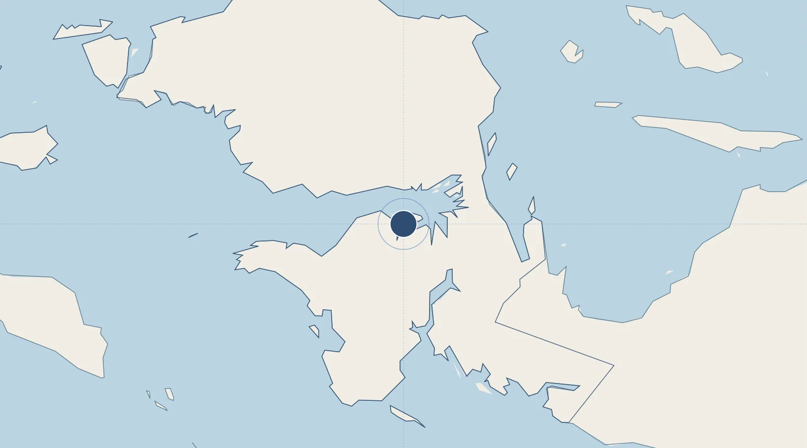
-2.5322°, 133.4390°
4,280 ft
Longest runway
1
Runways
10 ft
Elevation
Runway & Layout

Radio Frequencies
INFO
681.12 MHz
Runways · 1
| Runway | Dimensions | Surface | True heading | Lit |
|---|---|---|---|---|
| 02/20 | 4,280 × 98ft | Asphalt | 023° | — |
Airport Specifications
IATA code
BXB
ICAO code
WASO
Airport class
Medium airport
Scheduled service
No
Runway surface
Asphalt
Served city
Babo
Location
Nearby Logistics Neighbours
Airports
- 1Utarom Airport127 km
- 2Fakfak Airport137 km
- 3Rendani Airport195 km
- 4Douw Aturure Airport237 km
- 5Old Nabire Airport247 km
Cities
- 1Kokas113 km
- 2Inanwatan148 km
- 3Oransbari160 km
- 4Salawati Terminal301 km
- 5Sorong306 km
Ports
- 1Fakfak136 km
- 2Manokwari Road199 km
- 3Kasim Terminal302 km
- 4Salawati303 km
- 5Bula333 km
Trade Zones
- 1KEK Sorong296 km
- 2KEK Morotai770 km
- 3Sandaun Special Economic Zone847 km
- 4Vanimo Special Economic Zone872 km
- 5Western Province Special Economic Zone885 km
DatabookThe Record of Consolidated Knowledge
Indonesia beyond logistics?