UN/LOCODE hub · Indonesia
IDMIT

Misool Terminal

-1.5667°, 130.5167°
1
Transport functions

Transport Functions

Port
UN/LOCODE

Hub Profile

Region
PA
GeoNames

Location

Location of IDMIT
Natural Earth 10m (public domain) · PA · IDMIT · -1.57, 130.52GoogleOSMYandex

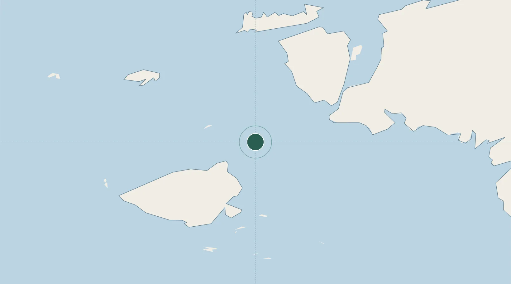
Nearby Logistics Neighbours

Cities
  1. 1Salawati Terminal59 km
  2. 2Sorong111 km
  3. 3Inanwatan194 km
  4. 4Angar234 km
  5. 5Kokas248 km
Nearest neighbours — logibook spatial index (haversine) over the source coordinates
Ports
  1. 1Salawati57 km
  2. 2Kasim Terminal63 km
  3. 3Bula171 km
  4. 4Wahai176 km
  5. 5Fakfak248 km
Nearest neighbours — logibook spatial index (haversine) over the source coordinates
Airports
  1. 1Domine Eduard Osok Airport114 km
  2. 2Marinda Airport130 km
  3. 3Werur Airport225 km
  4. 4Fakfak Airport246 km
  5. 5Babo Airport342 km
Nearest neighbours — logibook spatial index (haversine) over the source coordinates
Trade Zones
  1. 1KEK Sorong101 km
  2. 2KEK Morotai477 km
  3. 3Bitung Special Economic Zone687 km
  4. 4KEK Likupang697 km
  5. 5Atauro Special Economic Zone918 km
Nearest neighbours — logibook spatial index (haversine) over the source coordinates
DatabookThe Record of Consolidated Knowledge
Indonesia beyond logistics?
Browse databook

All Sources

LocationsUN/LOCODE
UN/LOCODE — free
Portsthe NGA World Port Index
Public domain (US gov)
AirportsOurAirports
Public domain
Trade Zonesthe World Bank SEZ database
CC BY 4.0
Trade ZonesOpen Zone Map
CC BY
← Indonesia locations