Channel & Berth Profile
Pilotage, Tugs & Services
Pilotage availableYES
Tug assistanceYES
Potable waterYES
Diesel bunkersNO
MedicalYES
Garbage disposalNO
Facilities & Capabilities
Container—
Ro-Ro—
Liquid bulk—
Dry bulk—
Oil terminal—
Break bulk—
Dry dock—
Repairs—
BunkeringNO
Rail link—
Dangerous cargo—
ISPS security—
Harbour Specifications
Harbour size
Very Small
Harbour type
Open Roadstead
Shelter
Fair
Water body
Ceram Sea; Banda Sea; South Pacific Ocean
Tidal range
1 m
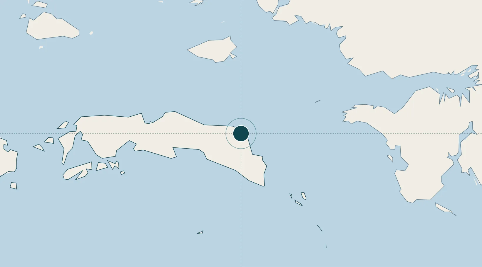
Location
Nearby Logistics Neighbours
Ports
- 1Wahai117 km
- 2Fakfak199 km
- 3Salawati202 km
- 4Kasim Terminal208 km
- 5Ambon267 km
Cities
- 1Angar72 km
- 2Misool Terminal171 km
- 3Salawati Terminal202 km
- 4Inanwatan214 km
- 5Kokas219 km
Airports
- 1Fakfak Airport197 km
- 2Domine Eduard Osok Airport260 km
- 3Pattimura International Airport276 km
- 4Marinda Airport299 km
- 5Babo Airport333 km
Trade Zones
- 1KEK Sorong245 km
- 2KEK Morotai629 km
- 3Bitung Special Economic Zone781 km
- 4Atauro Special Economic Zone786 km
- 5KEK Likupang797 km
DatabookThe Record of Consolidated Knowledge
Indonesia beyond logistics?