Transport Functions
Port
Hub Profile
Place type
Populated place
Region
Maluku
Time zone
Asia/Jayapura
Elevation
11 m
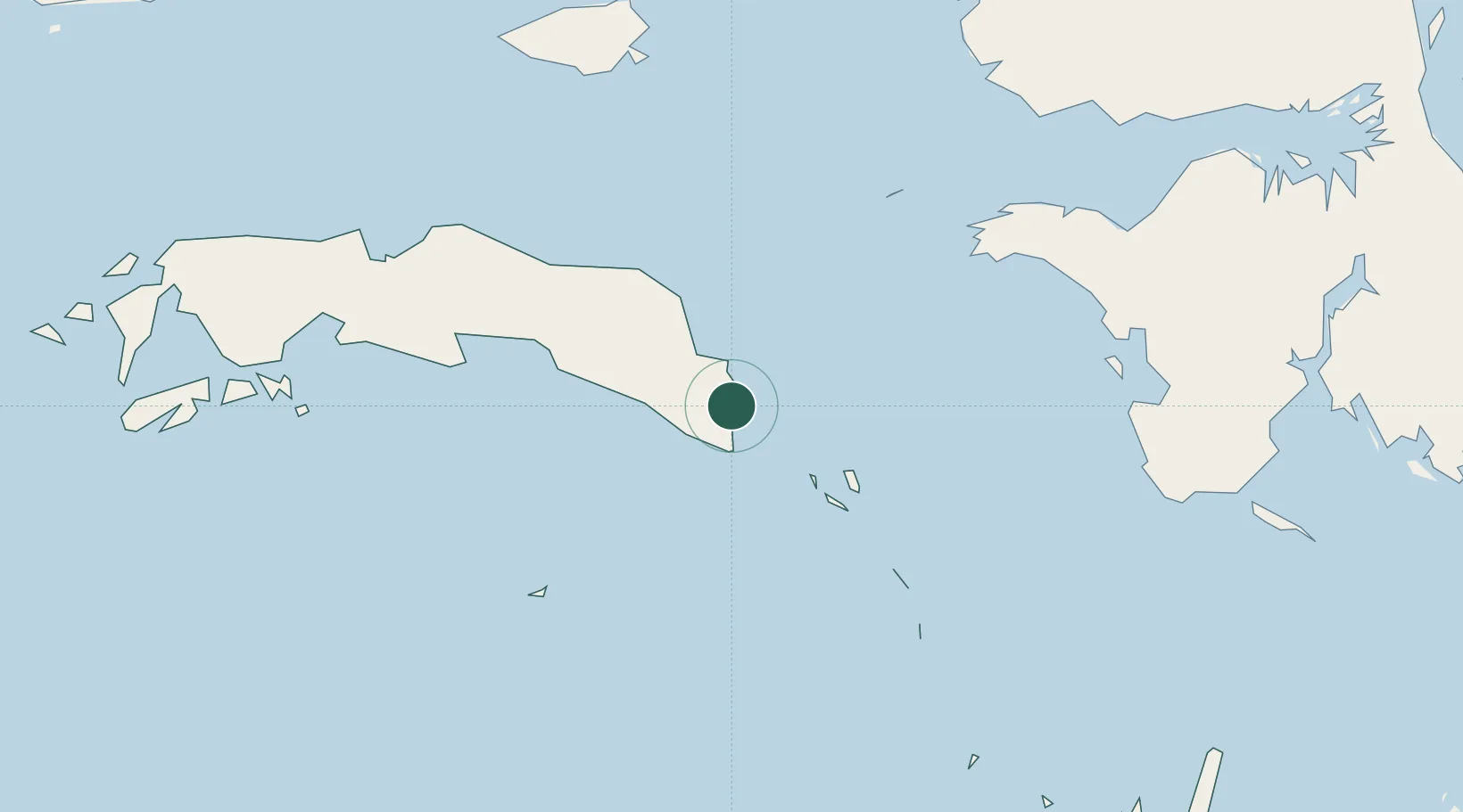
Location
Nearby Logistics Neighbours
Cities
- 1Kokas207 km
- 2Inanwatan224 km
- 3Misool Terminal234 km
- 4Salawati Terminal256 km
- 5Ambon, Molucas295 km
Ports
- 1Bula72 km
- 2Wahai177 km
- 3Fakfak180 km
- 4Salawati256 km
- 5Kasim Terminal262 km
Airports
- 1Fakfak Airport179 km
- 2Pattimura International Airport305 km
- 3Domine Eduard Osok Airport311 km
- 4Babo Airport315 km
- 5Karel Sadsuitubun Airport317 km
Trade Zones
- 1KEK Sorong295 km
- 2KEK Morotai699 km
- 3Atauro Special Economic Zone770 km
- 4Bitung Special Economic Zone849 km
- 5KEK Likupang866 km
DatabookThe Record of Consolidated Knowledge
Indonesia beyond logistics?