Seaport · Indonesia
PontianakIDPNK
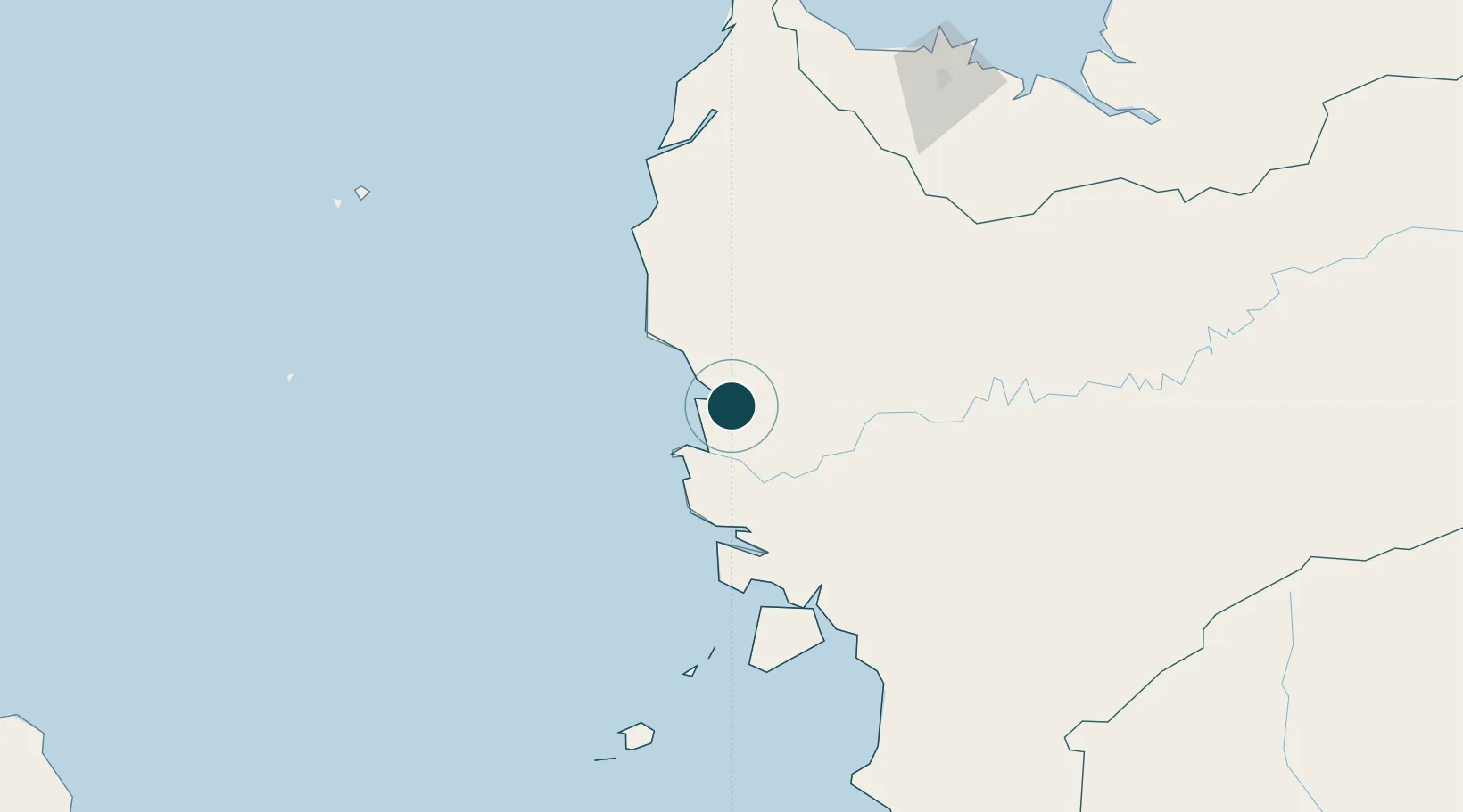
-0.0167°, 109.3333°
4.9 m
Channel depth
1
Container terminals
31.1
Port liner connectivity
Channel & Berth Profile
Pilotage, Tugs & Services
Pilotage compulsoryYES
Pilotage availableYES
Tug assistanceYES
Salvage tugsNO
Potable waterYES
Diesel bunkersNO
MedicalYES
Facilities & Capabilities
Container—
Ro-Ro—
Liquid bulk—
Dry bulk—
Oil terminal—
Break bulk—
Dry dock—
RepairsNO
BunkeringYES
Rail link—
Dangerous cargo—
ISPS security—
Harbour Specifications
Harbour size
Very Small
Harbour type
River (Natural)
Shelter
Excellent
Water body
Natuna Sea; South China Sea; South Pacific Ocean
Tidal range
2 m
Overhead limit
Yes
Pilotage
Yes
Liner Connectivity
31.1
PLSCI
Port Liner Shipping Connectivity Index for Pontianak, as published by UNCTAD for the latest available quarter. Higher values indicate stronger scheduled liner-shipping integration.
Shown relative to the highest per-port PLSCI in the dataset (1,657.9).
Location
Container Terminals · 1
IPC TERMINAL PETIKEMAS PONTIANAK
TPKP PT IPC TERMINAL PETIKEMAS
Nearby Logistics Neighbours
Ports
- 1Kuching209 km
- 2Tg. Mani329 km
- 3Sarikei342 km
- 4Bintangor353 km
- 5Tanjungpandan358 km
Cities
- 1Padang Tikar73 km
- 2Sanggau142 km
- 3Entikong156 km
- 4Pending210 km
- 5Kuching, Sarawak214 km
Airports
- 1Supadio International Airport17 km
- 2Kuching International Airport202 km
- 3Rahadi Osman Airport212 km
- 4Tebelian Airport236 km
- 5Susilo Airport238 km
Trade Zones
- 1Sama Jaya Free Industrial Zone208 km
- 2Sarawak Corridor Of Renewable Energy212 km
- 3KEK Tanjung Kelayang340 km
- 4Kawasan Industri Suge379 km
- 5KEK Galang Batang530 km
DatabookThe Record of Consolidated Knowledge
Indonesia beyond logistics?