Transport Functions
Port
Road
Hub Profile
Place type
Populated place
Region
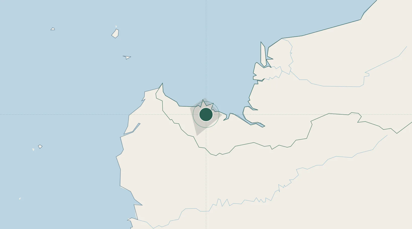
Sarawak
Time zone
Asia/Kuching
Elevation
26 m
Location
Nearby Logistics Neighbours
Cities
- 1Kuching, Sarawak5 km
- 2Senari - Sarawak8 km
- 3Sebuyau61 km
- 4Entikong67 km
- 5Tanjung Manis126 km
Airports
- 1Kuching International Airport8 km
- 2Sibu Airport195 km
- 3Susilo Airport205 km
- 4Tebelian Airport214 km
- 5Supadio International Airport218 km
Trade Zones
DatabookThe Record of Consolidated Knowledge
Malaysia beyond logistics?