UN/LOCODE hub · Malaysia
MYKCH

Kuching, Sarawak

1.5808°, 110.4135°
3
Transport functions
1
Container terminals

Transport Functions

Port
Airport
Postal
Kuching, Sarawak is also a profiled seaport →
UN/LOCODE

Hub Profile

Logistics facilities
9
UN/LOCODE
Container terminals
1
UN/LOCODE

Location

Location of MYKCH
Natural Earth 10m (public domain) · Sarawak · MYKCH · 1.58, 110.41GoogleOSMYandex

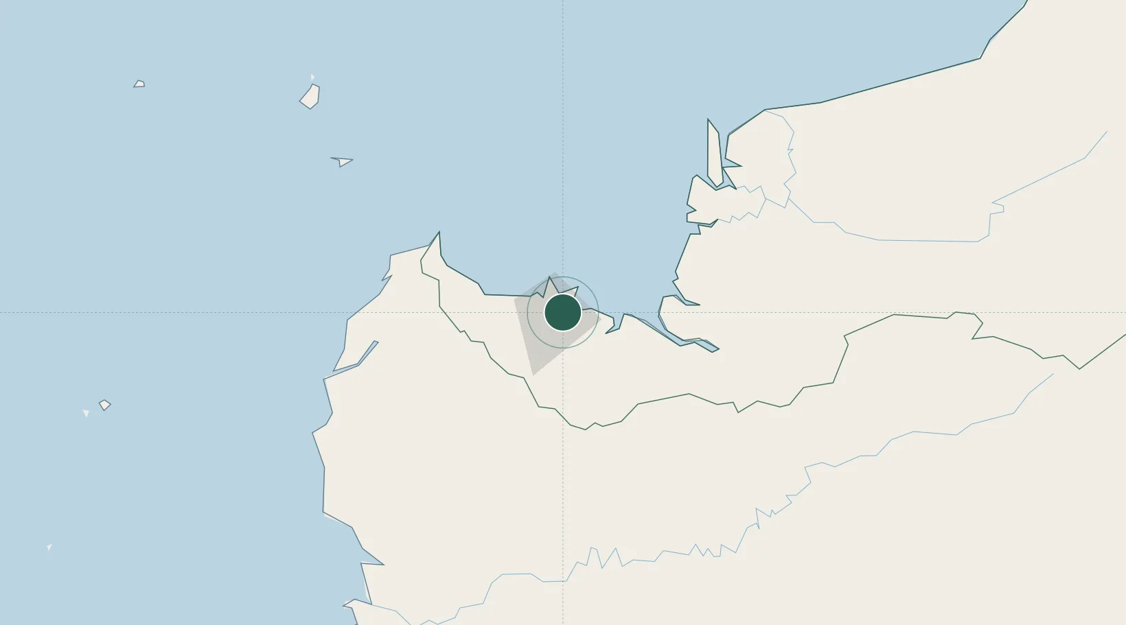
Nearby Logistics Neighbours

Cities
  1. 1Senari - Sarawak3 km
  2. 2Pending5 km
  3. 3Sebuyau58 km
  4. 4Entikong71 km
  5. 5Tanjung Manis121 km
Nearest neighbours — logibook spatial index (haversine) over the source coordinates
Ports
  1. 1Tg. Mani122 km
  2. 2Sarikei139 km
  3. 3Bintangor150 km
  4. 4Sibu174 km
  5. 5Pontianak214 km
Nearest neighbours — logibook spatial index (haversine) over the source coordinates
Airports
  1. 1Kuching International Airport12 km
  2. 2Sibu Airport190 km
  3. 3Susilo Airport206 km
  4. 4Tebelian Airport215 km
  5. 5Supadio International Airport223 km
Nearest neighbours — logibook spatial index (haversine) over the source coordinates
Trade Zones
  1. 1Sarawak Corridor Of Renewable Energy3 km
  2. 2Sama Jaya Free Industrial Zone7 km
  3. 3Kawasan Industri Suge348 km
  4. 4Mas Cargo Free Zone, Penang500 km
  5. 5KEK Tanjung Kelayang554 km
Nearest neighbours — logibook spatial index (haversine) over the source coordinates
DatabookThe Record of Consolidated Knowledge
Malaysia beyond logistics?
Browse databook

All Sources

LocationsUN/LOCODE
UN/LOCODE — free
Portsthe NGA World Port Index
Public domain (US gov)
AirportsOurAirports
Public domain
Trade Zonesthe World Bank SEZ database
CC BY 4.0
Trade ZonesOpen Zone Map
CC BY
← Malaysia locations