Economic Revitalization Project · Malaysia
Sarawak Corridor Of Renewable Energy Active
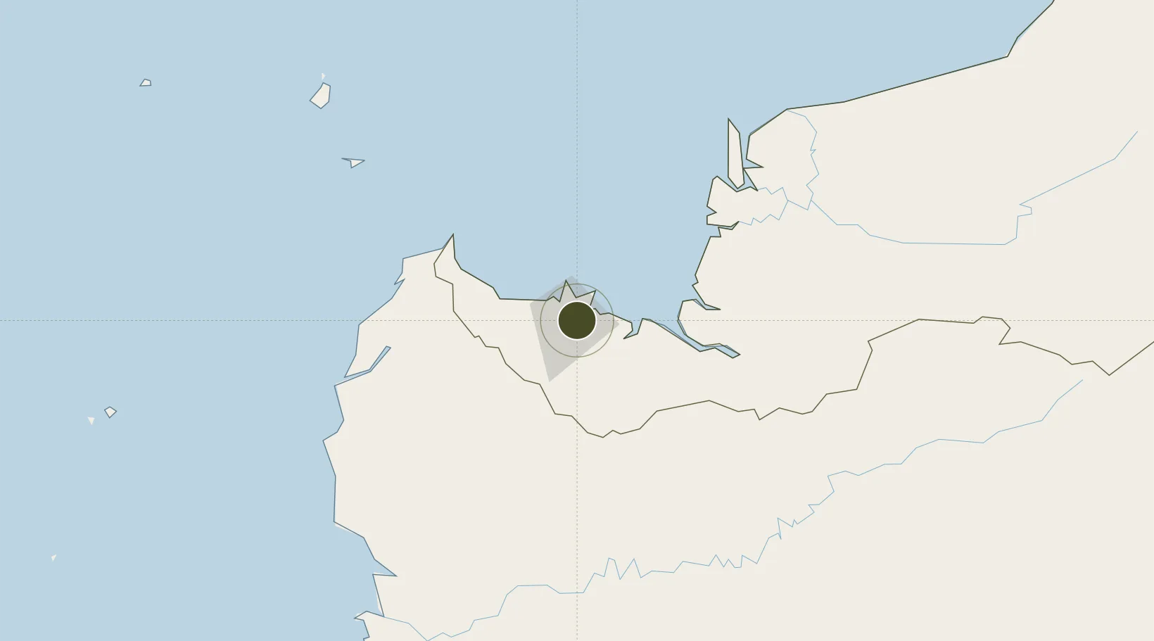
1.5606°, 110.3963°
7,000,000 ha
Zone area
5.2 km
Nearest port
9.5 km
Nearest airport
Gateway access
Zone profile
Zone type
Economic Revitalization Project
Region
Sarawak
Status
Active
Management
Public
Operator
Regional Corridors Development Authority (RECODA), Sarawak
Legal framework
The Regional Corridors Development Authorities Ordinance 2006
Location
Nearby Logistics Neighbours
Airports
- 1Kuching International Airport10 km
- 2Sibu Airport193 km
- 3Susilo Airport205 km
- 4Tebelian Airport214 km
- 5Supadio International Airport220 km
Cities
- 1Pending2 km
- 2Kuching, Sarawak3 km
- 3Senari - Sarawak6 km
- 4Sebuyau60 km
- 5Entikong68 km
Trade Zones
- 1Sama Jaya Free Industrial Zone4 km
- 2Kawasan Industri Suge348 km
- 3Mas Cargo Free Zone, Penang503 km
- 4KEK Tanjung Kelayang551 km
- 5KEK Galang Batang642 km
DatabookThe Record of Consolidated Knowledge
Malaysia beyond logistics?