Channel & Berth Profile
Pilotage, Tugs & Services
Pilotage availableYES
Pilotage advisableYES
Tug assistanceNO
Salvage tugsNO
Potable waterYES
MedicalYES
Garbage disposalYES
Facilities & Capabilities
Container—
Ro-Ro—
Liquid bulk—
Dry bulk—
Oil terminal—
Break bulkYES
Dry dock—
RepairsNO
BunkeringYES
Rail link—
Dangerous cargo—
ISPS security—
Harbour Specifications
Harbour size
Very Small
Harbour type
River (Natural)
Shelter
Fair
Water body
South China Sea; North Pacific Ocean
Tidal range
3 m
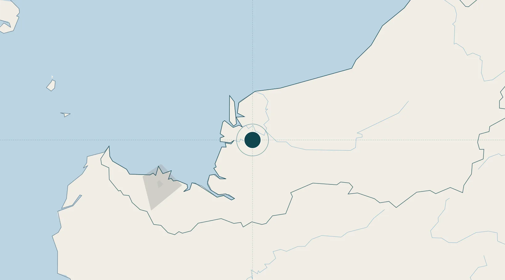
Location
Nearby Logistics Neighbours
Ports
- 1Sarikei12 km
- 2Sibu24 km
- 3Tg. Mani32 km
- 4Kuching158 km
- 5Bintulu Port201 km
Cities
- 1Sarikei14 km
- 2Sibu, Sarawak25 km
- 3Sungai Merah29 km
- 4Tanjung Manis33 km
- 5Pulau Bruit57 km
Airports
- 1Sibu Airport41 km
- 2Mukah Airport92 km
- 3Kuching International Airport161 km
- 4Bintulu Airport187 km
- 5Pangsuma Airport208 km
Trade Zones
- 1Sarawak Corridor Of Renewable Energy153 km
- 2Sama Jaya Free Industrial Zone155 km
- 3Mas Cargo Free Zone, Penang355 km
- 4Kawasan Industri Suge459 km
- 5Muara Export Zone497 km
DatabookThe Record of Consolidated Knowledge
Malaysia beyond logistics?