Medium airport · Indonesia

Rahadi Osman AirportWIOK
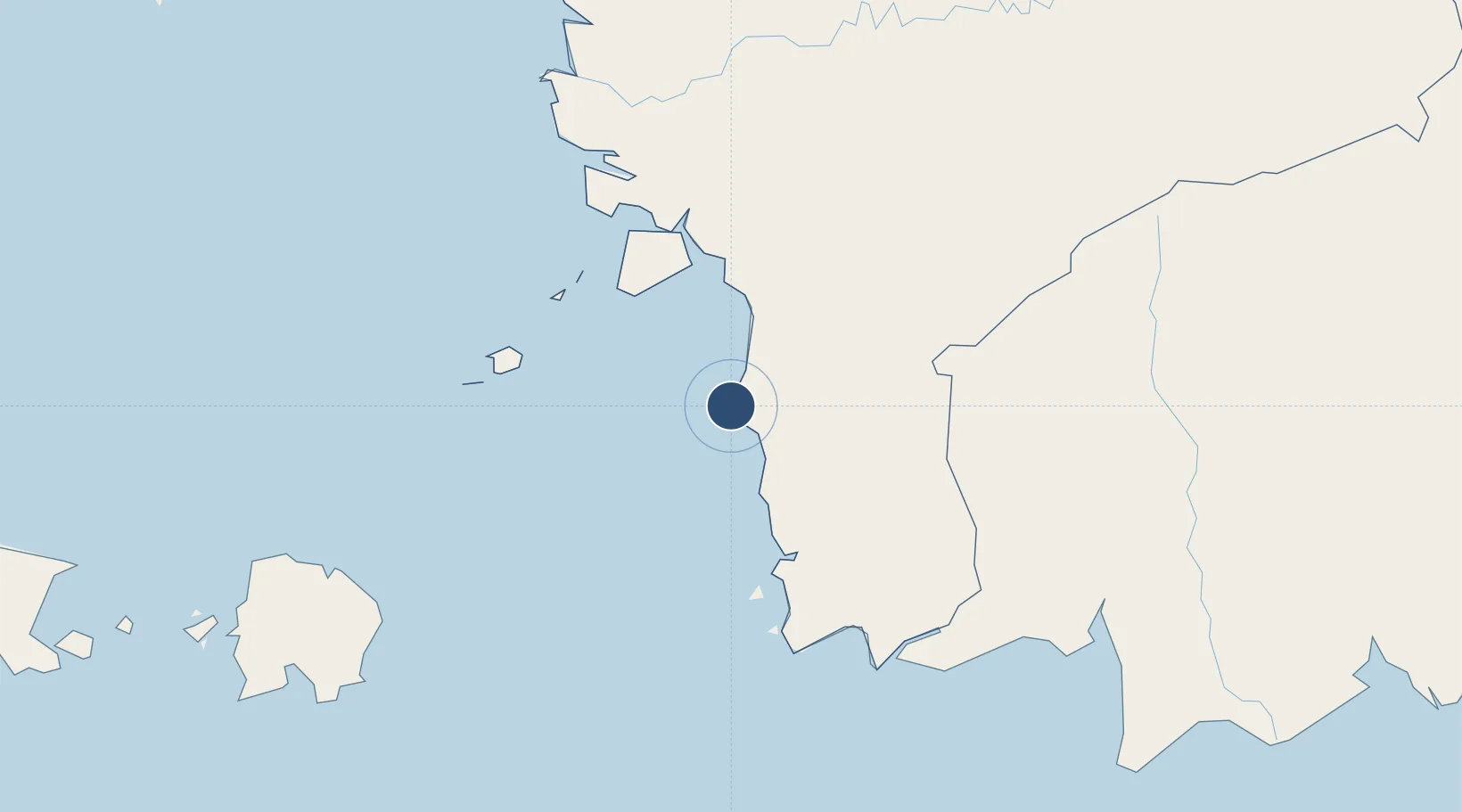
-1.8172°, 109.9635°
4,585 ft
Longest runway
1
Runways
46 ft
Elevation

Runway & Layout

Rahadi Osman Airport runway & taxiway layout
Runway & taxiway layout — OpenStreetMap (ODbL) / OurAirports

Radio Frequencies

INFO
122.3 MHz
OurAirports

Navaids

KP NDB Ketapang 333 kHz
KTP VOR-DME Ketapang 116.80 MHz
OurAirports

Runways · 1

RunwayDimensions SurfaceTrue headingLit
17/35 4,585 × 95ft Asphalt 172°
OurAirports

Airport Specifications

IATA code
KTG
OurAirports
ICAO code
WIOK
OurAirports
Airport class
Medium airport
OurAirports
Scheduled service
Yes
OurAirports
Runway surface
Asphalt
OurAirports
Served city
Ketapang
OurAirports

Location

Location of WIOK
Natural Earth 10m (public domain) · Kalimantan Barat · WIOK · -1.82, 109.96GoogleOSMYandex

Nearby Logistics Neighbours

Airports
  1. 1Supadio International Airport195 km
  2. 2Iskandar Airport214 km
  3. 3Nanga Pinoh Airport257 km
  4. 4Tebelian Airport258 km
  5. 5H A S Hanandjoeddin International Airport266 km
Nearest neighbours — logibook spatial index (haversine) over the source coordinates
Cities
  1. 1Kendawangan84 km
  2. 2Padang Tikar150 km
  3. 3Pontianak, Kalimantan213 km
  4. 4Kumai221 km
  5. 5Sanggau226 km
Nearest neighbours — logibook spatial index (haversine) over the source coordinates
Ports
  1. 1Pontianak212 km
  2. 2Kumai221 km
  3. 3Tanjungpandan279 km
  4. 4Sampit346 km
  5. 5Kuching379 km
Nearest neighbours — logibook spatial index (haversine) over the source coordinates
Trade Zones
  1. 1KEK Tanjung Kelayang270 km
  2. 2Sama Jaya Free Industrial Zone374 km
  3. 3Sarawak Corridor Of Renewable Energy379 km
  4. 4Tanjung Api-api Special Economic Zone574 km
  5. 5Kawasan Industri Suge588 km
Nearest neighbours — logibook spatial index (haversine) over the source coordinates
DatabookThe Record of Consolidated Knowledge
Indonesia beyond logistics?
Browse databook

All Sources

AirportsOurAirports
Public domain
Portsthe NGA World Port Index
Public domain (US gov)
LocationsUN/LOCODE
UN/LOCODE — free
Trade Zonesthe World Bank SEZ database
CC BY 4.0
Trade ZonesOpen Zone Map
CC BY
InfrastructureOpenStreetMap
ODbL 1.0
← Indonesia airports