Runway & Layout

Airport Specifications
IATA code
SQG
ICAO code
WIOS
Airport class
Medium airport
Scheduled service
Yes
Served city
Sintang
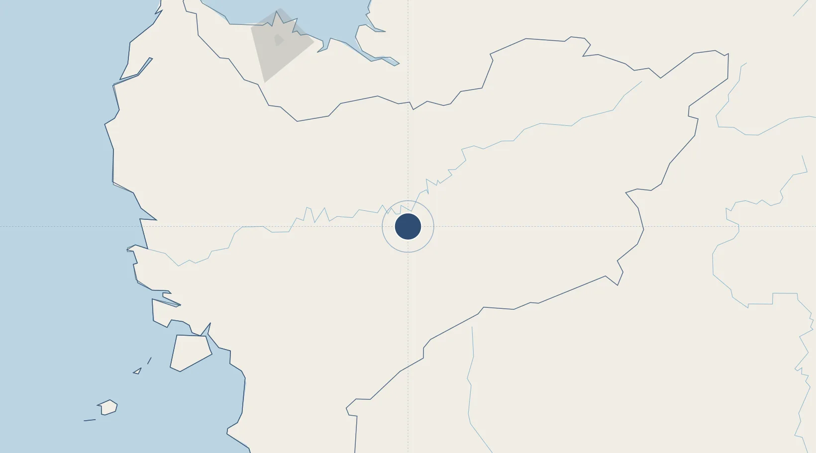
Location
Nearby Logistics Neighbours
Airports
- 1Susilo Airport12 km
- 2Nanga Pinoh Airport47 km
- 3Pangsuma Airport192 km
- 4Kuching International Airport210 km
- 5Supadio International Airport229 km
Cities
- 1Sanggau97 km
- 2Sungai Nibong149 km
- 3Entikong166 km
- 4Samu178 km
- 5Sebuyau183 km
Trade Zones
- 1Sama Jaya Free Industrial Zone210 km
- 2Sarawak Corridor Of Renewable Energy214 km
- 3KEK Tanjung Kelayang508 km
- 4Kawasan Industri Suge542 km
- 5Delma Industrial Park555 km
DatabookThe Record of Consolidated Knowledge
Indonesia beyond logistics?